Archaeology
Israel is one of the more densely-excavated places on earth. The posts under this tag span five thousand years, from Chalcolithic finds and Bronze Age tels through Roman Caesarea, Byzantine mosaic floors, Crusader fortresses, Ottoman caravanserais, and the modern excavations still going on. Many describe active dig sites where each season’s work changes what’s known.
35 articles
35 articles
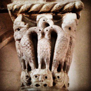
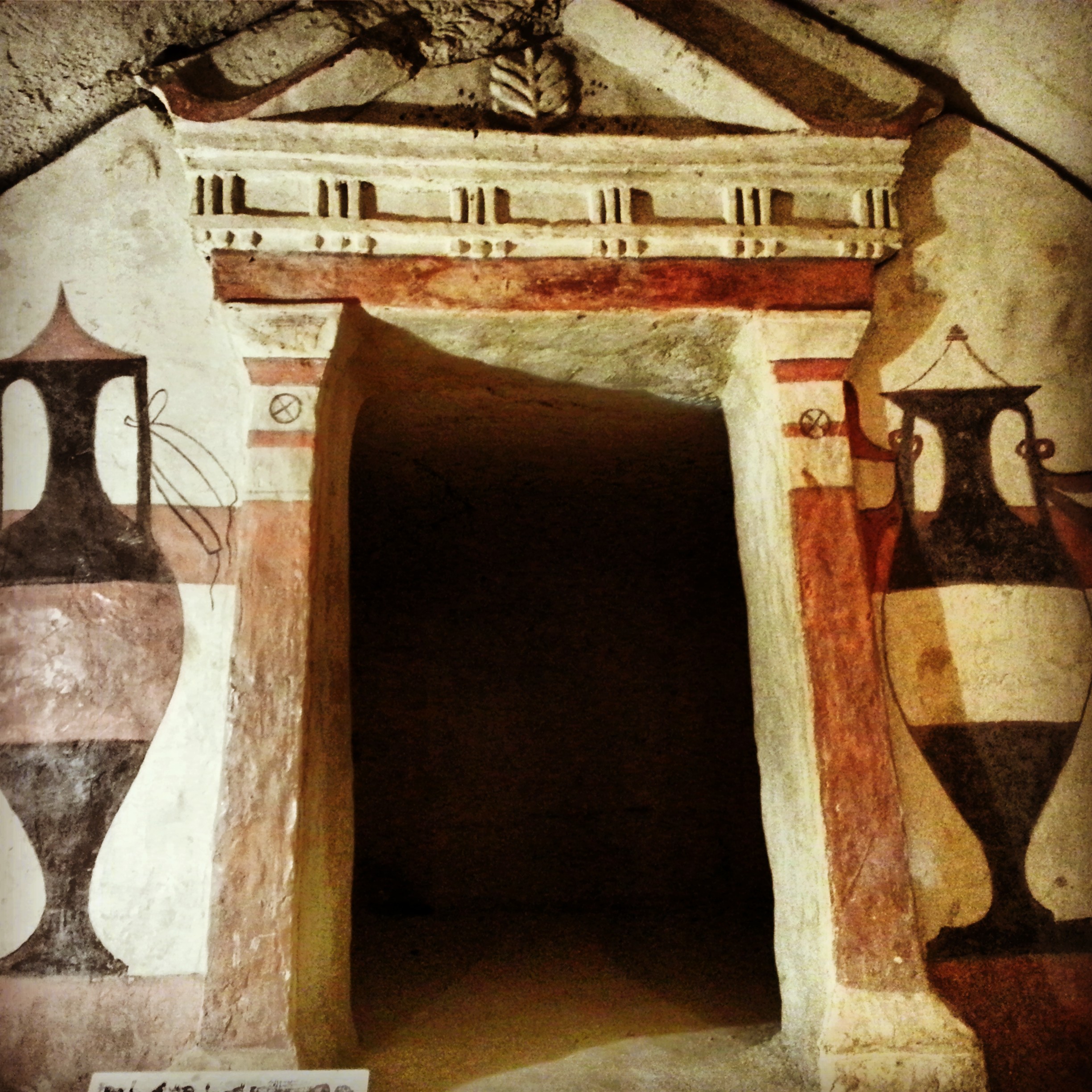
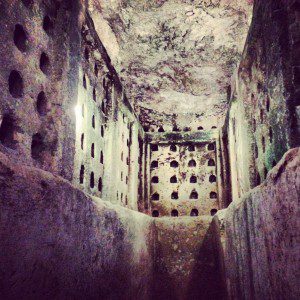
Herodion


Zichron Yaakov and surroundings
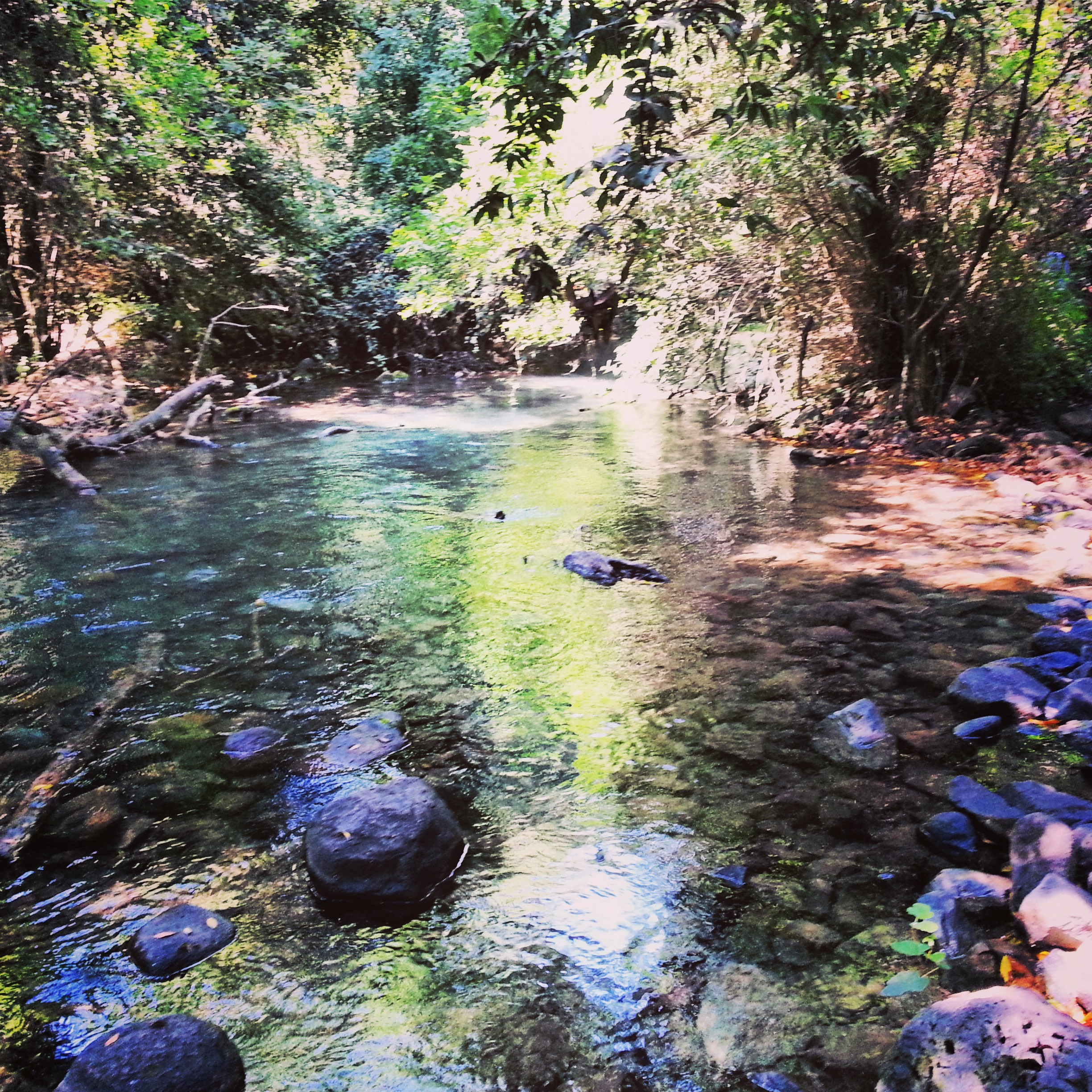
A field trip from Zichron Yaakov and the First Aliyah pioneers to Baron de Rothschild's mausoleum at Ramat Hanadiv, the Etzel and Roman ruins at Shuni, the Mei Kedem aqueduct and the Atlit detention camp.


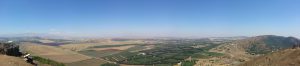
Campus Upper Galilee day three: Eastern Upper Galilee
Our campus moves to the Eastern Upper Galilee, taking in Roman ruins at Tel Kedesh, battle sites at Tel Chai and the Koach Fortress, the Tanur waterfall, a view into Lebanon from Metulla and the vast tel of Hazor.


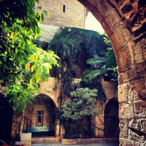
Crusader Jerusalem
A walk through the Old City focused on the Crusader century: the Cenacle on Mount Zion, the Nea Church, the German Knights' hospice, the Crusader market, the Church of the Redeemer and the Holy Sepulchre.
The Shfela (Judean Lowlands) in the Roman & Byzantine Periods
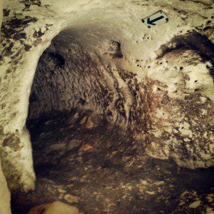
A day across the Judean Lowlands: Tel Maresha's underground caves, the Roman city of Beit Guvrin (Eleutheropolis), and crawling through the Bar Kochba Revolt tunnels at Horvat Midras.

Campus Golan Day 2: the Lower Hermon and the Northern Golan Heights
Day 2 of our Golan Heights course: Tel Dan's salamander, the world's oldest arch, the Hellenist temple at Banias, the Yom Kippur battlefields at Mt Bental and the Valley of Tears, and a kumzitz to close.


Jerusalem in the Second Temple period
A field trip through Jerusalem's Second Temple period sites: the City of David, the Tyropoeon valley drainage channel, the Davidson Centre, the Burnt House, the Wohl Museum of Archaeology, and the excavations beneath the Western and southern walls of the Temple Mount.


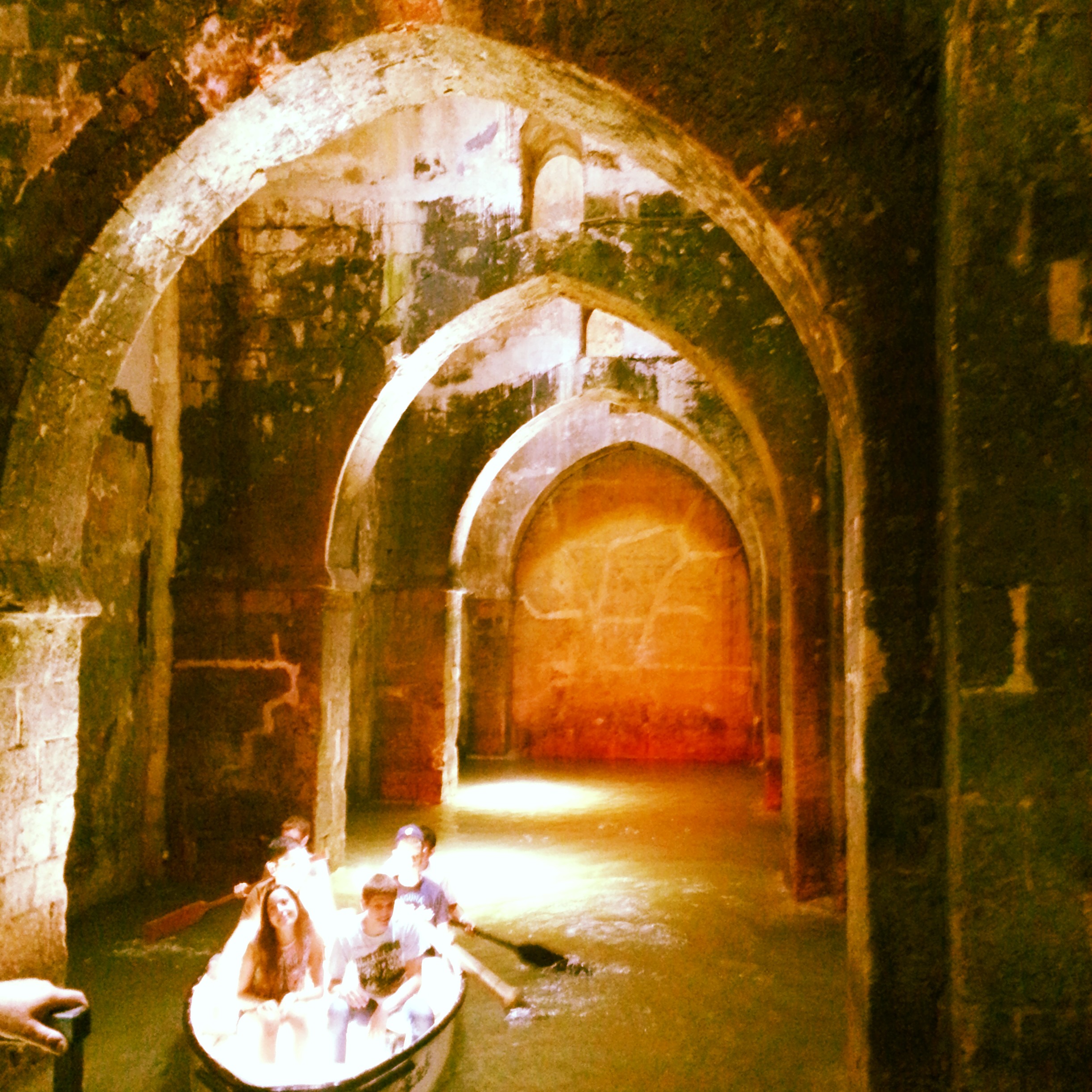
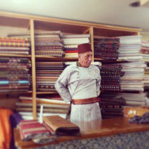
Ramla and Lod
A field trip to two adjacent cities in central Israel: the Karaite Centre, White Tower, Arches Pool and Great Mosque in Ramla, plus the Church of St George in Lod. A surprisingly rewarding day for return visitors.


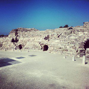
Belvoir Fortress and Beit Shean
A north-bound field trip south of the Sea of Galilee, taking in the Crusader fortress of Belvoir above the Jordan Valley and the vast Roman and Byzantine ruins of Scythopolis at Beit Shean.


Christianity Around the Sea of Galilee
Day two of our Christian odyssey takes us around the shores of the Kinneret: the Jesus Boat at Ginosar, the Mount of Beatitudes, the two churches at Tabgha, Capernaum, Kursi and Yardenit. With a quick lunch of St Peter's Fish in the middle.


If you are going to Israel, you would be mad not to give him a call.
Amol Rajan, BBC presenter and broadcaster
Having been on trips in Israel with seven different tour guides, Samuel stood above all the rest.
Seasoned Israel traveller
Samuel is one part walking encyclopedia, one part storyteller, one part stand-up comedian.
Berkeley Haas Business School student