Archaeology
Israel is one of the more densely-excavated places on earth. The posts under this tag span five thousand years, from Chalcolithic finds and Bronze Age tels through Roman Caesarea, Byzantine mosaic floors, Crusader fortresses, Ottoman caravanserais, and the modern excavations still going on. Many describe active dig sites where each season’s work changes what’s known.
35 articles
35 articles
Benjamin and Samaria
A field trip into the West Bank: the archaeological site at Shiloh (briefly home to the tabernacle), a fog-bound viewpoint from Mt Kabir, and Mt Gerizim — holy site of the Samaritans.


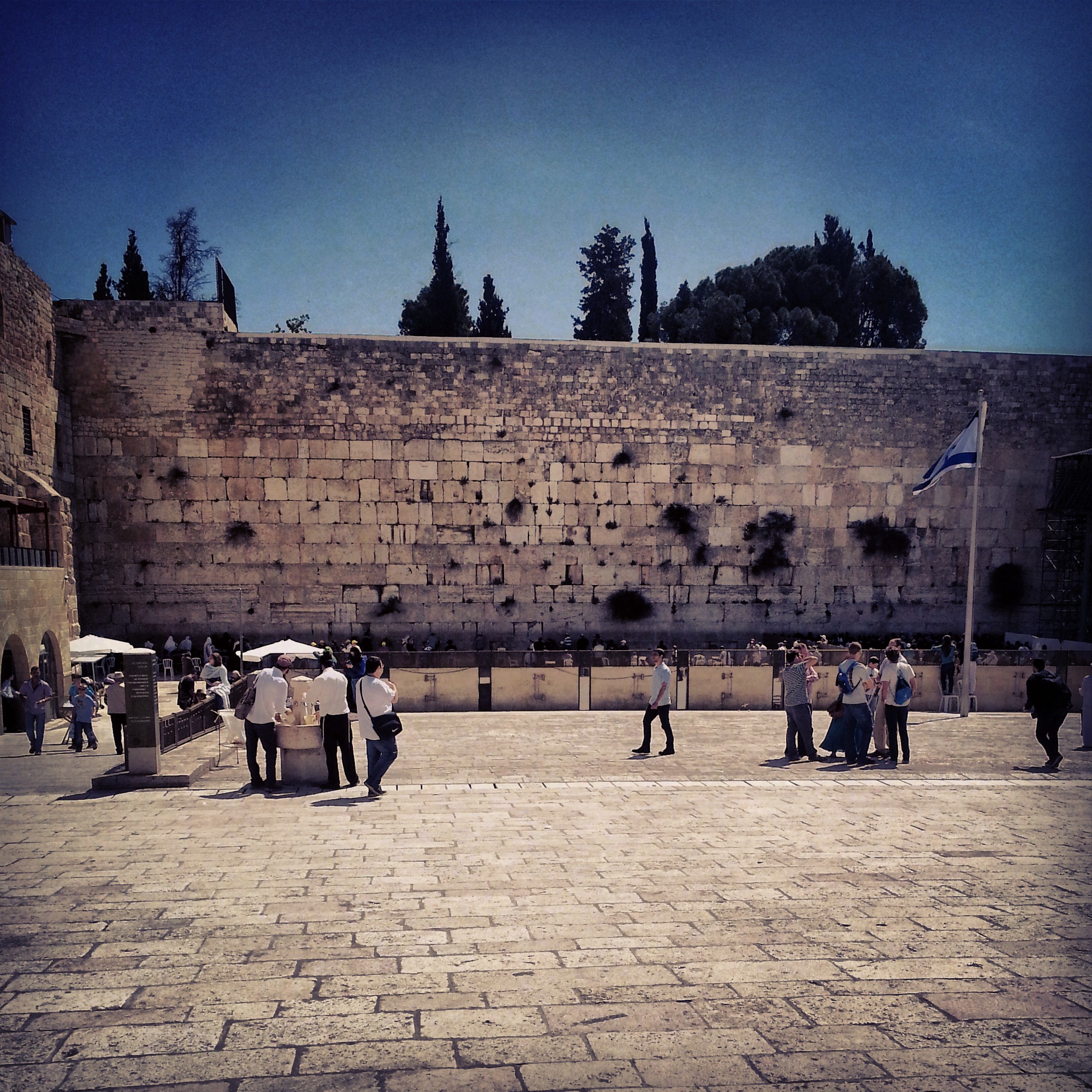
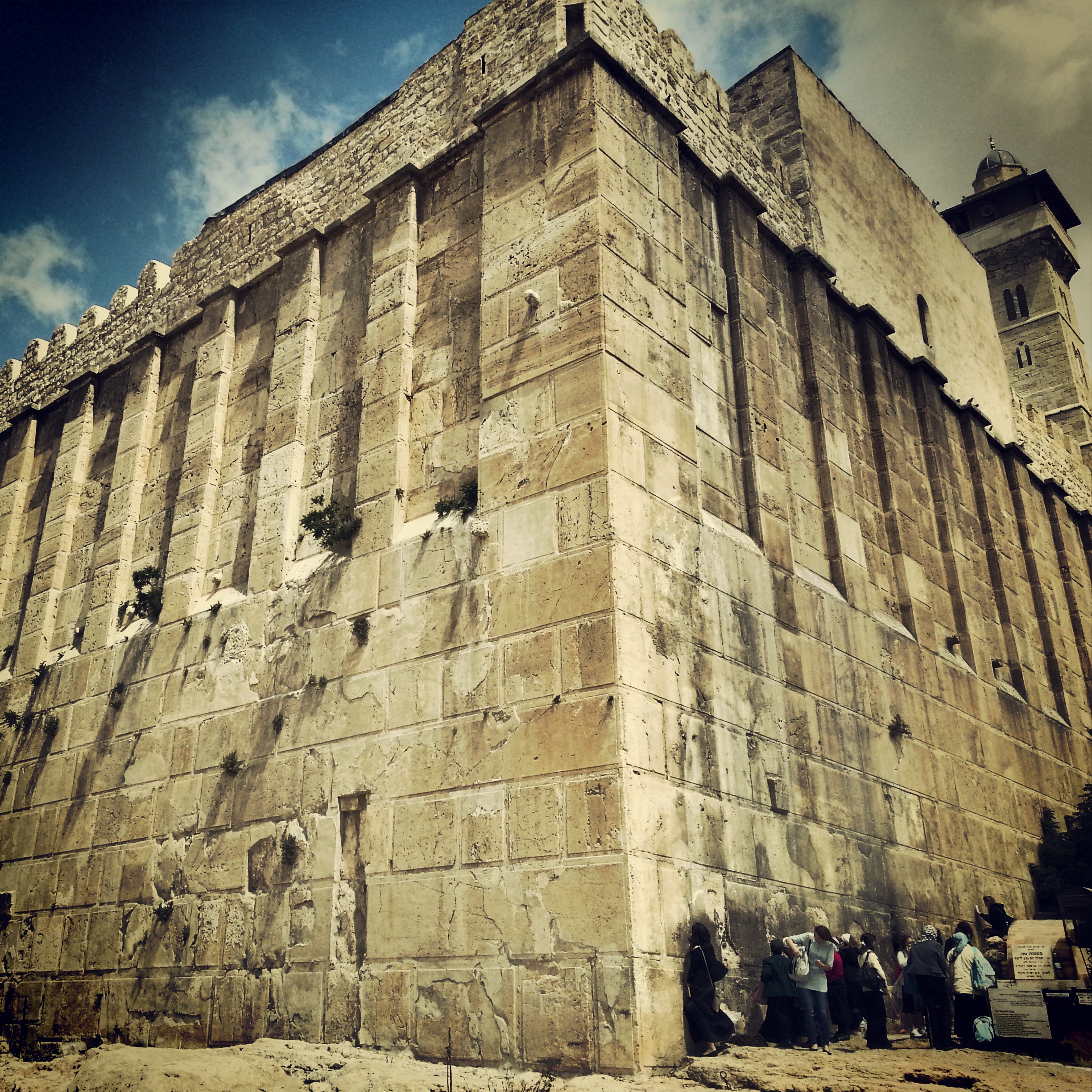
Jerusalem: First Temple and Second Temple Periods
A field-trip filling in the gaps between the two Jerusalem temple-period days: the Roman 10th Legion's camp under Binyanei Hauma, the Western Wall Tunnels, an advance preview of the Eastern Cardo, the Kidron mausolea and the burial tombs at Ketef Hinnom.


Nabatean Cities in the Negev
A field-trip to two of the Nabatean cities of the Negev, Mamshit and Avdat, now a UNESCO world heritage site: the ingenious cisterns, the spice and wine trade, the assimilation into Roman and then Byzantine Christian culture.


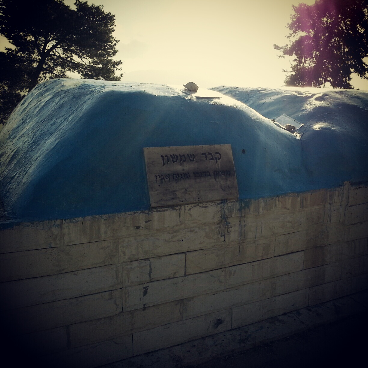
South Mount Hebron
Returning from glandular fever for a complex field-trip to the South Hebron Hills: the Cave of Machpela, Tel Rumeida, the Byzantine ruins of Susya and Anim, and the illegal outpost at Avigail. Politics unavoidable, the day deeply absorbing.


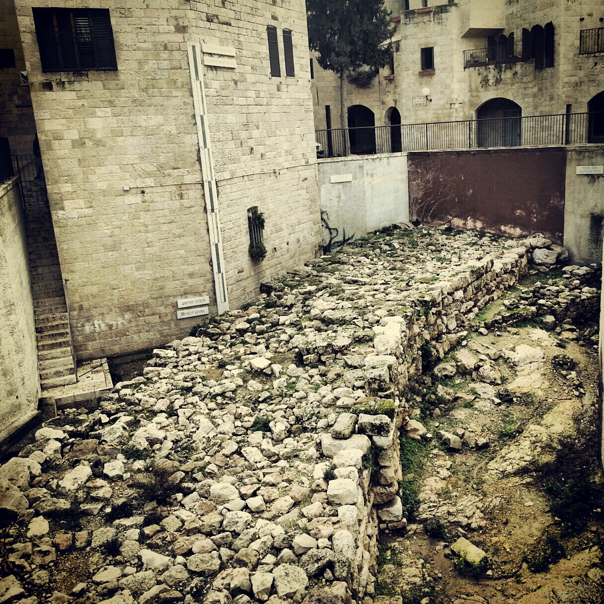
Jerusalem in the First Temple Period
Our first field-trip to Jerusalem, focusing on the First Temple period: a panorama from the Haas Promenade, the archaeology of the City of David, Hezekiah's Broad Wall and the Israelite gate tower, and the Ariel Centre's model of the early city.


The Biblical Judean Lowlands (Shfela)
A field-trip day across the Judean Lowlands (Shfela) — the Tzora forest, Tel Beit Shemesh, the recently discovered Khirbet Qeiyafa, Tel Azeka over the valley of David and Goliath, and Tel Lachish.


Archaeology of the Biblical Negev
A field-trip day through the biblical Negev — the Joe Alon Centre for Bedouin culture, then south to the UNESCO-listed Tel Beer Sheva and the early-Canaanite ruins of Tel Arad.


The Ancient Sea Road (Via Maris)
A storm-soaked field trip along the ancient Sea Road: El Ahwat, the Katzir viewpoint, Tel Megiddo and Tel Jezreel, the Beit Alfa synagogue mosaic, and a hail-pelted finale on the Gilboa ridge.


The Jordan Valley
A field trip down the Jordan Valley: the Byzantine monasteries of Martyrius, St Euthymius and St Gerassimos; the baptism site at Qasr el Yahud; the Jordan Valley Monument; and an evening sing-song at the Mabua spring.


The Lower Galil
A first overview of the Lower Galil: the ancient mound of Tel Chanaton, the Muslim Arab villages of Kaukab Abu al-Hija and Deir Hanna, the ruined city of Yodfat, the meditative village of Hararit and the communal settlement of Avtaliyon.


If you are going to Israel, you would be mad not to give him a call.
Amol Rajan, BBC presenter and broadcaster
Having been on trips in Israel with seven different tour guides, Samuel stood above all the rest.
Seasoned Israel traveller
Samuel is one part walking encyclopedia, one part storyteller, one part stand-up comedian.
Berkeley Haas Business School student