Centre
Central Israel covers Jerusalem, Tel Aviv, and the coastal plain between them, a stretch packed with history. The posts here range from Caesarea on the coast through Bethlehem in the Judean Hills, the Jordan Valley, and Tel Aviv’s modern skyline. The geography is small but the historical and cultural concentration is hard to overstate.
37 articles
37 articles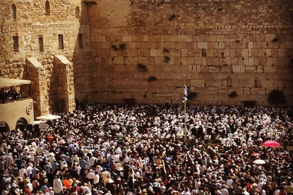
The Priestly Blessing (Birkat HaCohanim) at the Western Wall
The unified Priestly Blessing (Birkat HaCohanim) at the Western Wall: a personal reflection on the service that takes place twice a year, when hundreds of cohanim recite a blessing dating back to the First Temple.
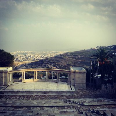
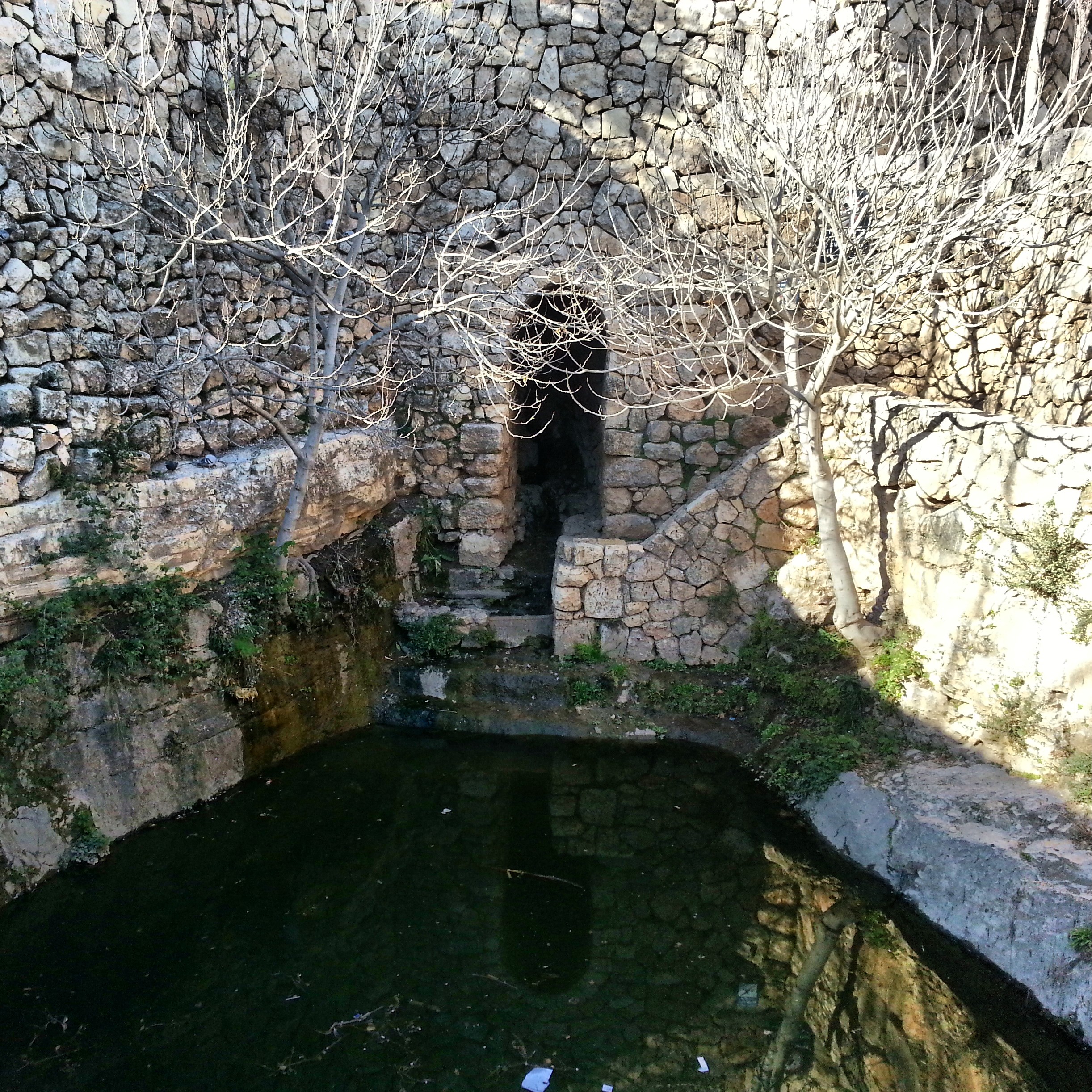
The Hebrew University on Mt Scopus
A walking tour of the Hebrew University on Mt Scopus with a local guide: the botanical gardens, the Cave of Nicanor, the tombs of Ussishkin and Pinsker, and the amphitheatre.


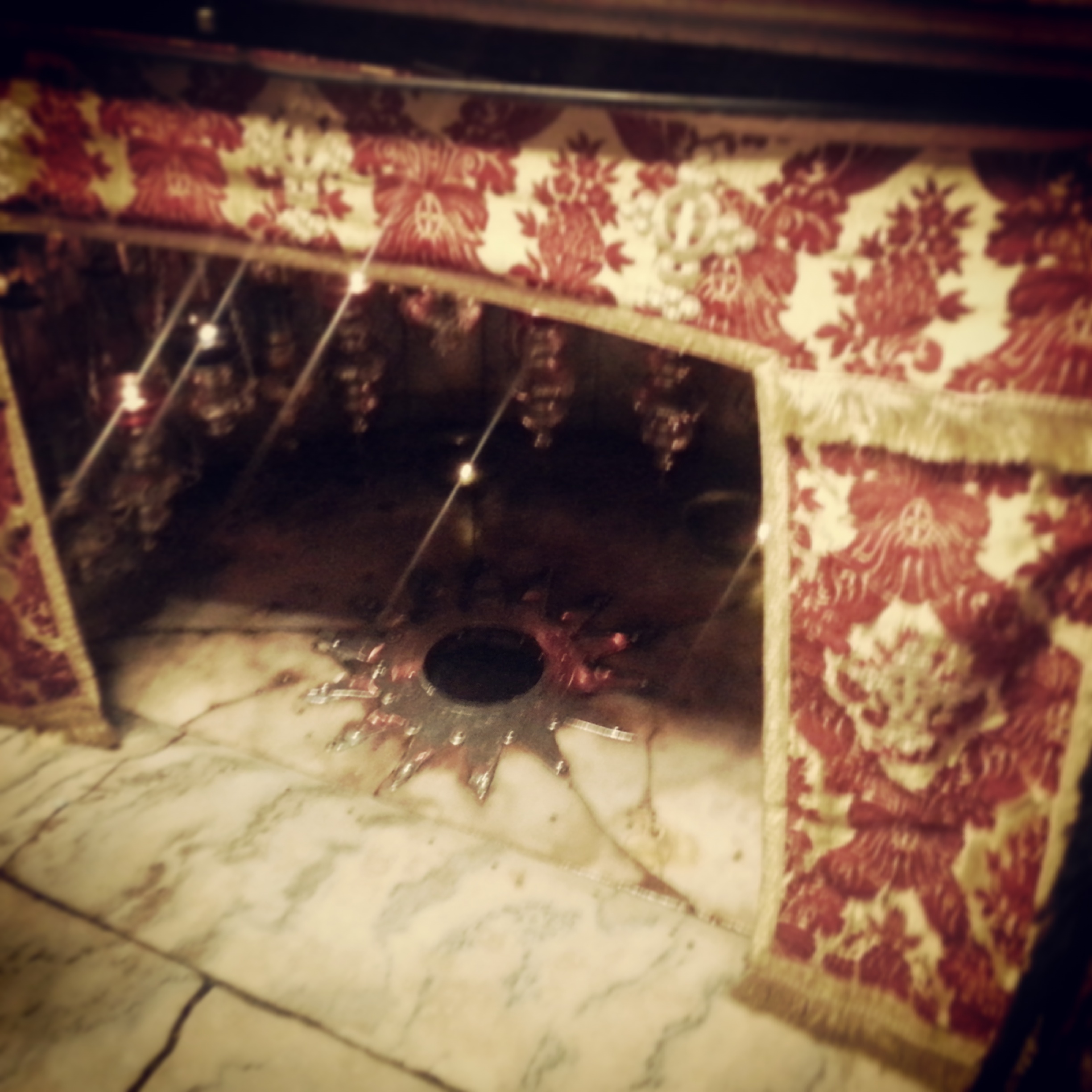
Bethlehem
A brief first visit to Bethlehem, just over the line in Area A, to see the Church of the Nativity, shared between Greek Orthodox, Armenian and Catholic communities, and the crypt marking the traditional site of Jesus’ birth.


Jerusalem: a summary and a conclusion
The final field trip of the course: a day around Jerusalem taking in the tomb of the prophet Samuel at Nabi Samuel, the Jaffa Gate, the Tower of David, Christ Church, a walk along the Old City ramparts, and Nachlaot and the Machane Yehuda market, before reflecting back on the past year and a half.


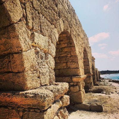
Caesarea
A day around Caesarea: the Byzantine flour mills at Nachal Taninim, the Hadrianic aqueducts at Beit Hanania, the national park itself with Herod's port, hippodrome, theatre and bathhouse, and the birds mosaic to the north.


Modern Tel Aviv
A second day of touring Tel Aviv, this time tracing its modern development — the cultural quarter, Sarona, the Tachana, the ha'apala memorial, Rabin Square, the old port and the Yitzchak Rabin Centre.


The Ayalon Valley
A day in the Ayalon valley between Tel Aviv and Jerusalem: Tel Gezer's Israelite gate, Mini Israel, the Crusader Toron des Chevalliers and Latrun's silent Trappist monks, ancient Emmaus, the Tombs of the Maccabees and Neot Kedumim.


The Sea Peoples
Following the footsteps of the Sea Peoples along the southern coast: Tel Qasile in the Land of Israel Museum, Izbet Sartah, the Crusader fortress of Migdal Tzedek, Tel Afek / Antipatris, ancient Ashkelon and Jonah's Hill above the Ashdod port.


The Judean Mountains
A day in the Judean Mountains west of Jerusalem: archaeological excavations at Motza, the Crusader castle of Belmont, the Sataf farming terraces, the Scroll of Fire Holocaust sculpture, and a sunset from Pilots' Mountain.


The Battles for Jerusalem
A Jerusalem field trip across two wars: the Greek Orthodox monastery of San Simon and its 1948 battle, Kibbutz Ramat Rachel with its First Temple palace remains, and Ammunition Hill, the memorial to the 1967 capture of the Old City.


If you are going to Israel, you would be mad not to give him a call.
Amol Rajan, BBC presenter and broadcaster
Having been on trips in Israel with seven different tour guides, Samuel stood above all the rest.
Seasoned Israel traveller
Samuel is one part walking encyclopedia, one part storyteller, one part stand-up comedian.
Berkeley Haas Business School student