Galilee
The Galilee covers Israel’s northern hill country, from the lower Galilee around the Sea of Galilee to the upper Galilee bordering Lebanon. The posts here include nature reserves and hiking routes (Nachal Amud, the Hula bird migration), settlement history along the Jordan Valley, and the Galilee’s role in the Christian, Jewish, and Druze stories that all meet here.
16 articles
16 articles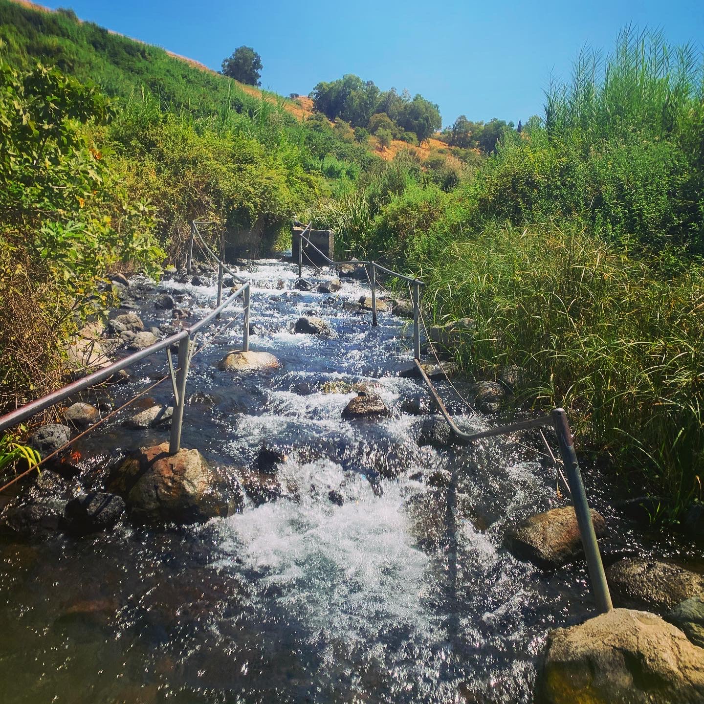
Going off the beaten path in northern Israel
A two-day road trip through the Galilee Panhandle and the Golan Heights: the Hunin Crusader fortress, a sealed Hezbollah tunnel near the Lebanon border, the Roman temples at Hurvat Omrit, the Hexagon Pool, and a Yom Kippur War memorial at Tel Saki.


Nachal Amud and Migration in the Hula
A perfect autumn hike down through Nachal Meiron and Nachal Amud, followed by a drive across the Galilee to the ancient synagogue at Bar'am and the migrating cranes at the Agamon.


Settlement of the Jordan Valley
A day through the Jordan Valley and the southern Sea of Galilee: the Harod Spring, the Roman bridge and hydroelectric ruins at Old Gesher and Naharayim, the Kinneret Courtyard and Rachel the Poet, Degania, the Motor House and the Kinneret Cemetery.


Safed / Tzefat
A return to Tzefat, where I spent three months on my gap year, this time as a guiding student. Akhbara, Mt Canaan, the kabbalists' synagogues of the Old City and a sunset over the Crusader citadel.


Settlement of the Jezreel Valley
A field trip across the Jezreel Valley tracing the early-Zionist settlement of the area: Tel Yoqneam, the Valley Railway museum, the Templer villages of Bethlehem of Galilee and Waldheim, the Nahalal cemetery, Merhavia and Sejera.


Eastern Lower Galilee
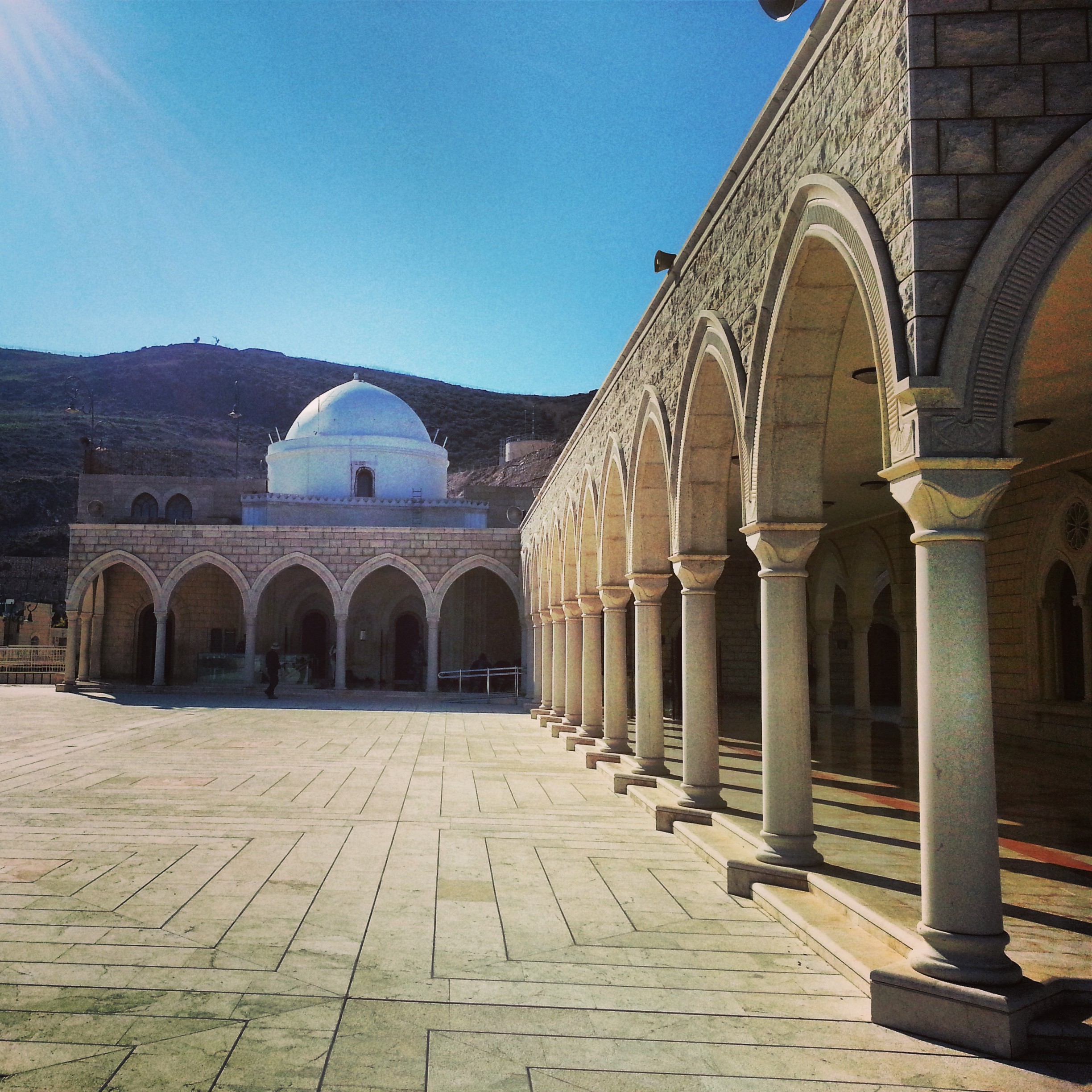
A field trip around the eastern lower Galilee, the basalt-cliff region between the Sea of Galilee and the central Galilee: Mount Arbel and its ancient synagogue, the Druze shrine of Nabi Shu'aib, ancient Korazim, Domus Galilaeae and Tel Mutilla.


Beit Shearim and Zippori
A day in the lower Galilee at Beit Shearim and Zippori: the story of Alexander Zaid, the vast necropolis and tomb of Rabbi Yehuda HaNasi, and Zippori's Roman synagogue, fortress, mosaics and reservoir.


Campus Upper Galilee day three: Eastern Upper Galilee
Our campus moves to the Eastern Upper Galilee, taking in Roman ruins at Tel Kedesh, battle sites at Tel Chai and the Koach Fortress, the Tanur waterfall, a view into Lebanon from Metulla and the vast tel of Hazor.


Campus Upper Galilee day two: Central Upper Galilee
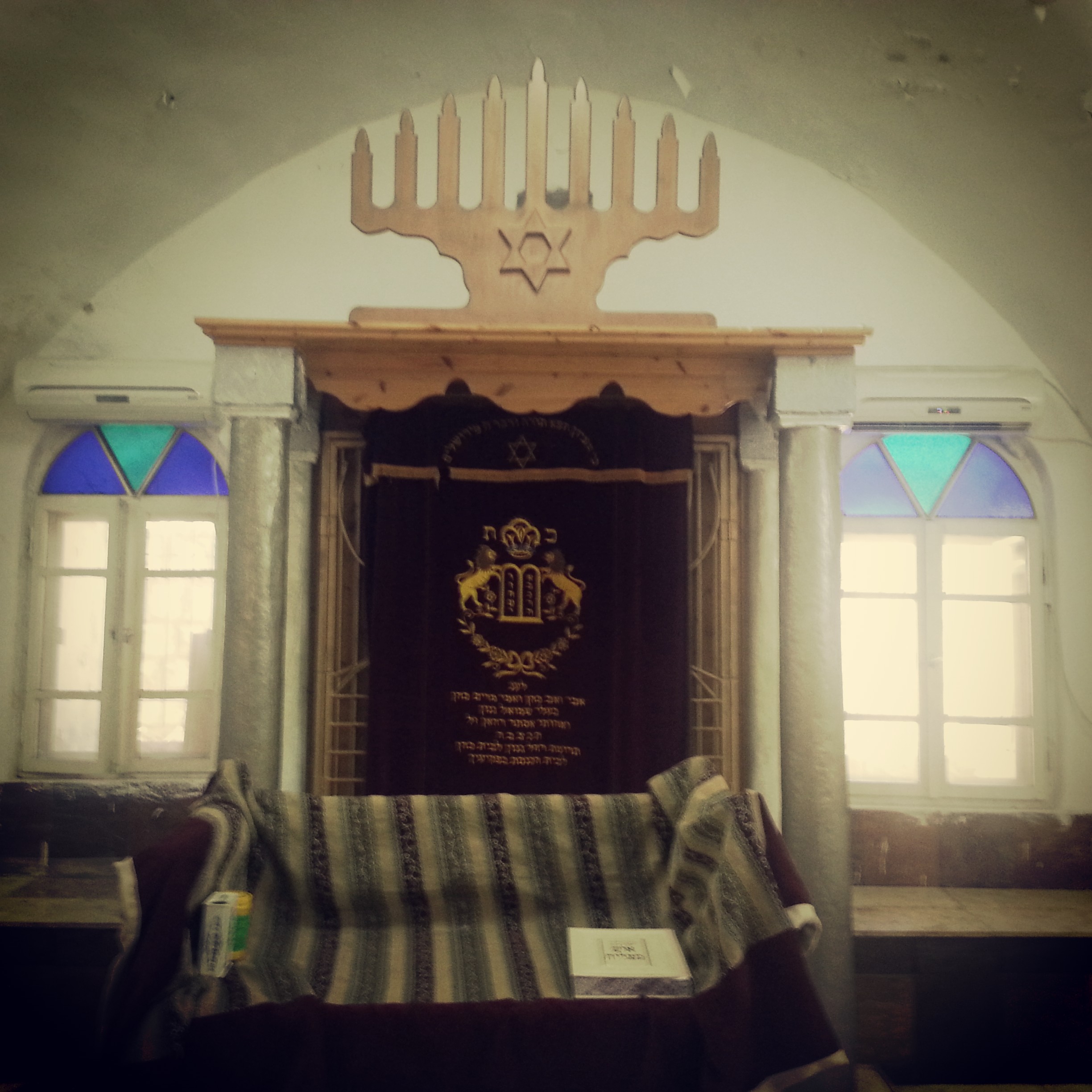
Day two of our Upper Galilee campus: the Druze village of Pekiin and its synagogue, Nebi Sabalan, the summit of Mt Meron, the Paar Cave, the tomb of the Rashbi, Rehaniya's Circassian community, and the Baram synagogue.


Campus Upper Galilee day one: Western Upper Galilee
The first day of our three-day campus in the Upper Galilee: an arab cemetery at Kfar Yasif, a crusader sugar refinery, the Adamit and Goren parks, the grottoes at Rosh Hanikra, and two memorials to war-of-independence operations.


If you are going to Israel, you would be mad not to give him a call.
Amol Rajan, BBC presenter and broadcaster
Having been on trips in Israel with seven different tour guides, Samuel stood above all the rest.
Seasoned Israel traveller
Samuel is one part walking encyclopedia, one part storyteller, one part stand-up comedian.
Berkeley Haas Business School student