Islam
Islam arrived in the Levant in the 7th century and has shaped the region’s landscape across Umayyad, Abbasid, Mamluk, and Ottoman periods. Posts here cover Muslim Jerusalem, the White Mosque of Ramla, the Ahmadiyya community of Haifa, and the Islamic history of South Mount Hebron.
7 articles
7 articles
Akko (Acre)
A full day in the old port city of Akko: the British Mandate prison museum, Al-Jazzar Mosque, the Hospitaller Fortress, the Templars' Tunnel, Hammam al-Basha, and the Bahji gardens just outside the walls.


Haifa
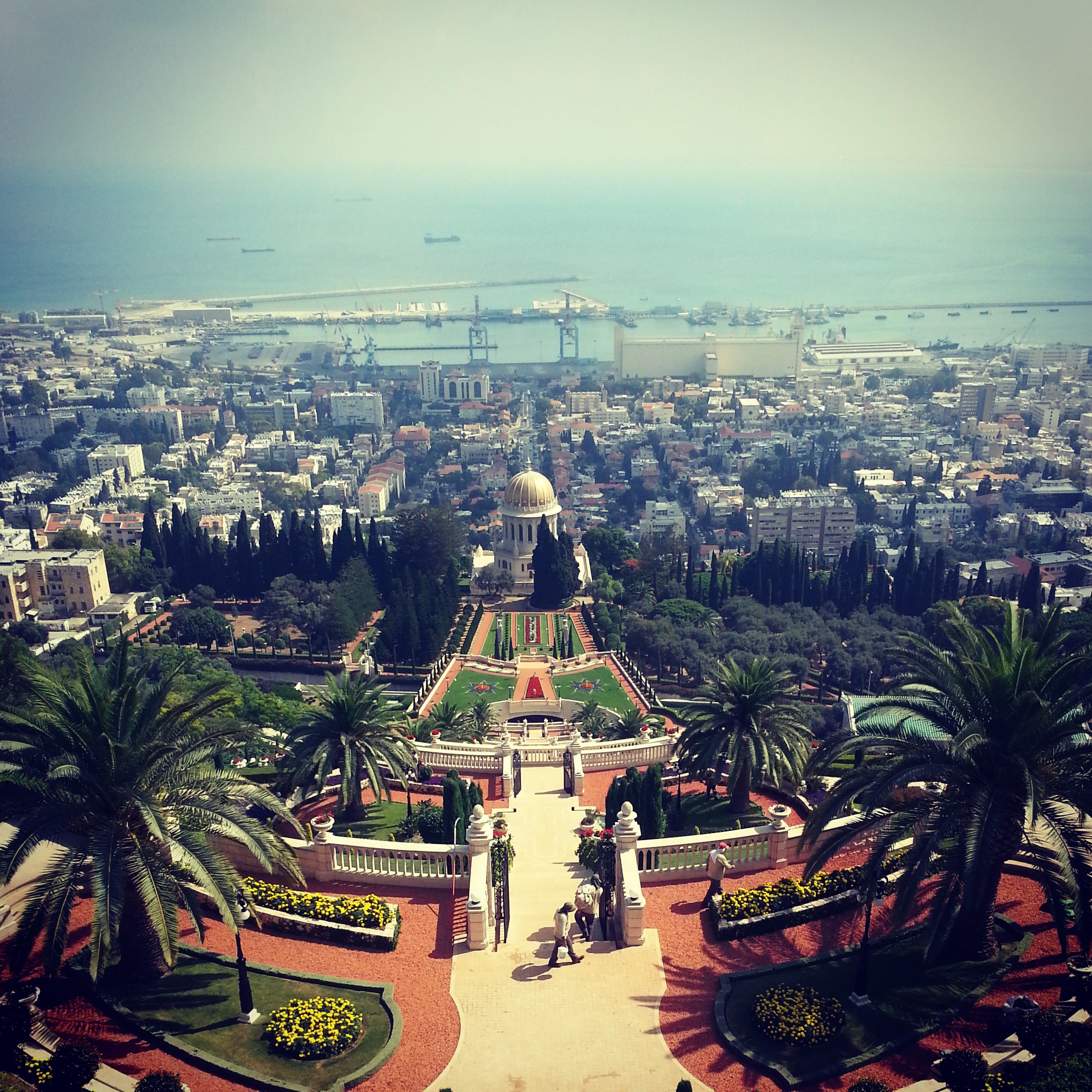
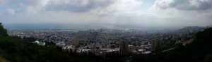
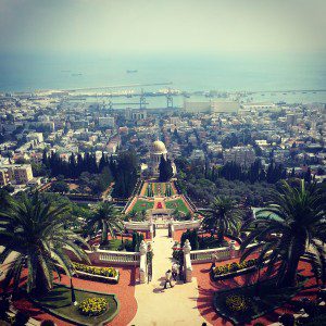
A day in Haifa: the Bahai Gardens spilling down Mount Carmel, the Ahmadiyya mosque, Stella Maris and the cave of Elijah, the German Colony, and a hike in Nachal Siach to round off.
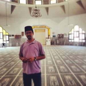

Muslim Jerusalem
Exploring Muslim Jerusalem: a morning on the Temple Mount platform with the Dome of the Rock and al-Aqsa, then through the Muslim Quarter learning to read Mamluk architecture, with a stop at Abu Shukri and the Little Western Wall.


Ramla and Lod
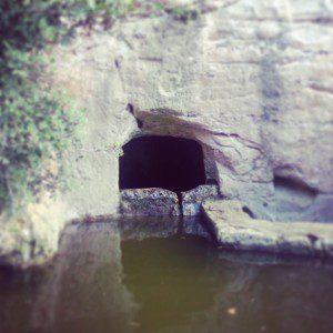
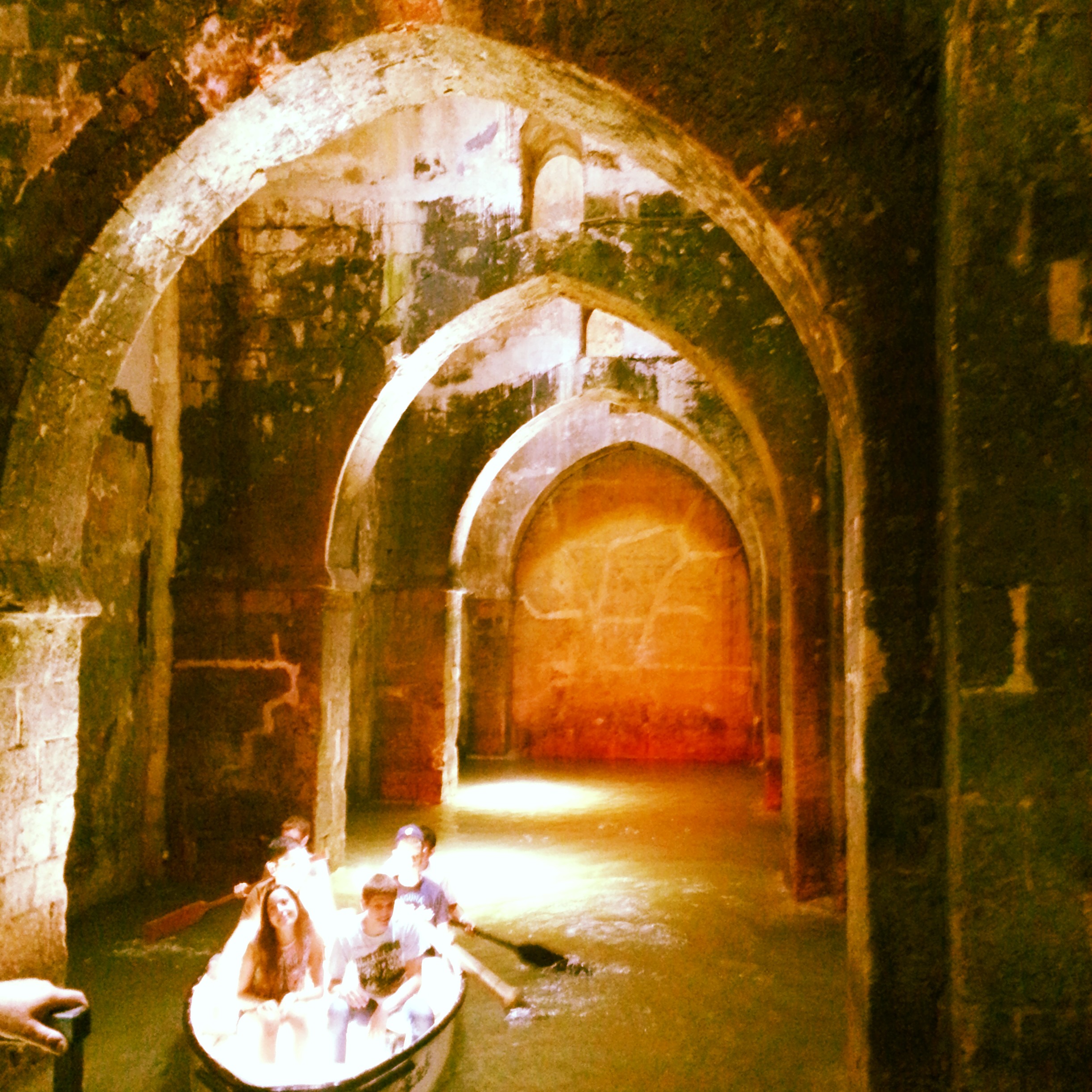
A field trip to two adjacent cities in central Israel: the Karaite Centre, White Tower, Arches Pool and Great Mosque in Ramla, plus the Church of St George in Lod. A surprisingly rewarding day for return visitors.


South Mount Hebron
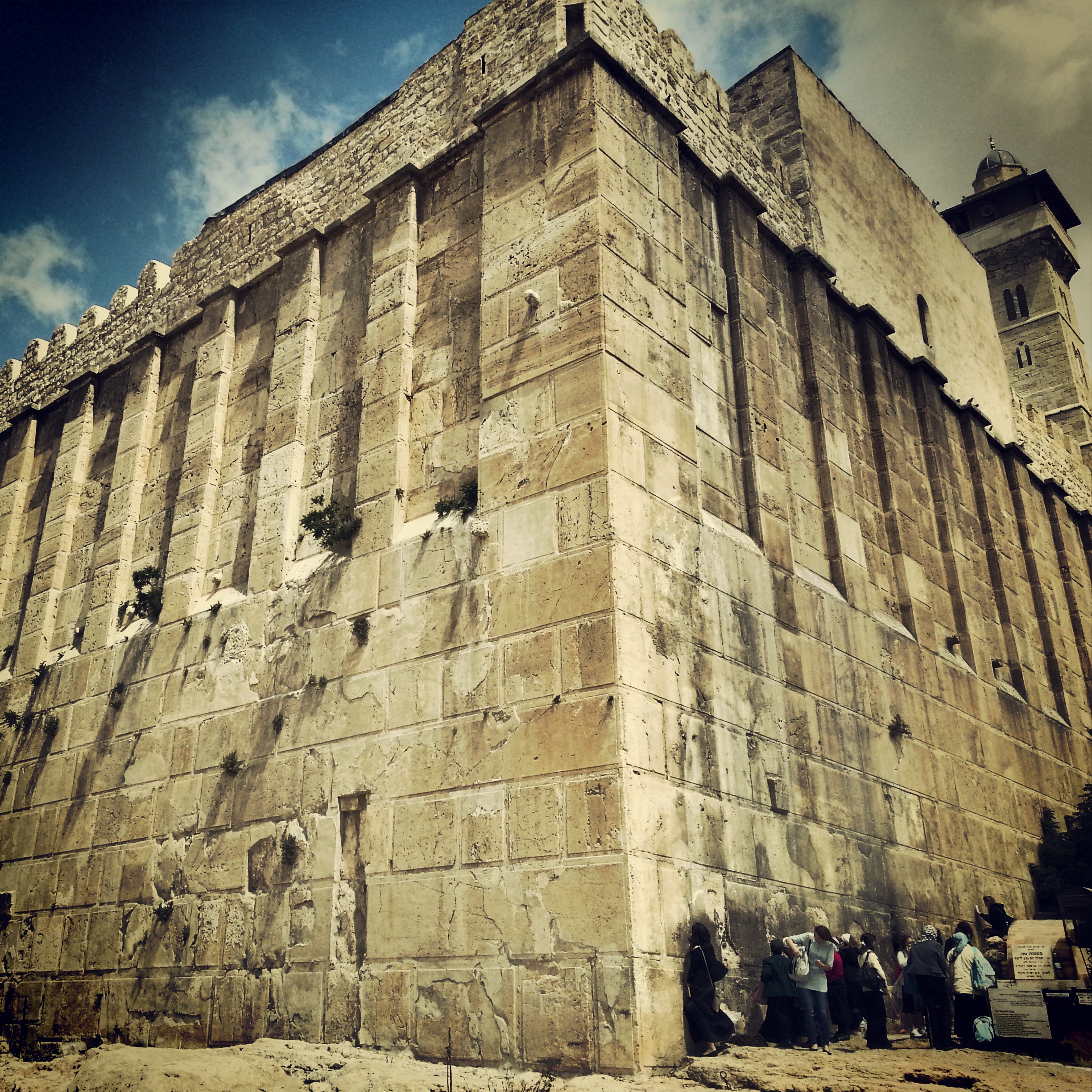
Returning from glandular fever for a complex field-trip to the South Hebron Hills: the Cave of Machpela, Tel Rumeida, the Byzantine ruins of Susya and Anim, and the illegal outpost at Avigail. Politics unavoidable, the day deeply absorbing.


The Sharon Plain
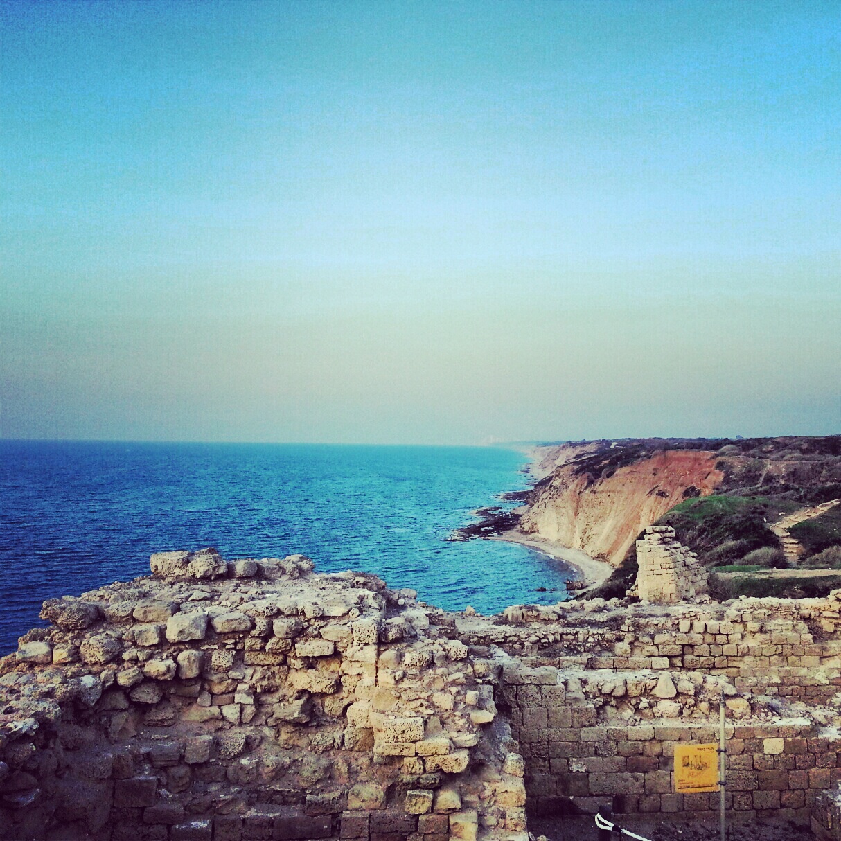
A day on the Sharon coastal plain, off the regular tourist trail: viewpoints at Tzur Natan, an Ottoman tomb on a Samaritan synagogue, the Crusader ruins of Kakun, a soft-shelled turtle hike along Nachal Alexander, the Cheftzi-ba farm, and the cliff-top archaeology of Apollonia.


Northern Judean Desert
First trip of the guiding course took us down into the northern Judean Desert, from the Inn of the Good Samaritan and the Wadi Kelt viewpoint to Einot Tzukim, Qumran and Nabi Musa. Twelve hours, eight sites, plenty of Hebrew vocabulary added to the lexicon.


If you are going to Israel, you would be mad not to give him a call.
Amol Rajan, BBC presenter and broadcaster
Having been on trips in Israel with seven different tour guides, Samuel stood above all the rest.
Seasoned Israel traveller
Samuel is one part walking encyclopedia, one part storyteller, one part stand-up comedian.
Berkeley Haas Business School student