Archaeology
Israel is one of the more densely-excavated places on earth. The posts under this tag span five thousand years, from Chalcolithic finds and Bronze Age tels through Roman Caesarea, Byzantine mosaic floors, Crusader fortresses, Ottoman caravanserais, and the modern excavations still going on. Many describe active dig sites where each season’s work changes what’s known.
35 articles
35 articles
Jerusalem: a summary and a conclusion
The final field trip of the course: a day around Jerusalem taking in the tomb of the prophet Samuel at Nabi Samuel, the Jaffa Gate, the Tower of David, Christ Church, a walk along the Old City ramparts, and Nachlaot and the Machane Yehuda market, before reflecting back on the past year and a half.


Caesarea
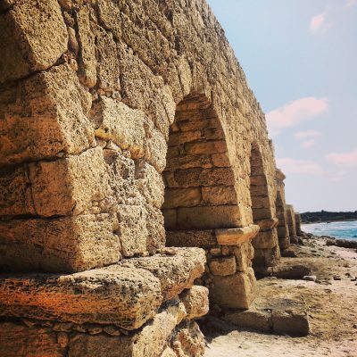
A day around Caesarea: the Byzantine flour mills at Nachal Taninim, the Hadrianic aqueducts at Beit Hanania, the national park itself with Herod's port, hippodrome, theatre and bathhouse, and the birds mosaic to the north.


The Sea Peoples
Following the footsteps of the Sea Peoples along the southern coast: Tel Qasile in the Land of Israel Museum, Izbet Sartah, the Crusader fortress of Migdal Tzedek, Tel Afek / Antipatris, ancient Ashkelon and Jonah's Hill above the Ashdod port.


Masada
A return visit to Masada, the desert fortress and UNESCO site above the Dead Sea: the cistern network, the Roman ramp, the Byzantine church mosaic, the Western Palace, the Northern Palace and one of the world’s oldest synagogues.


Southern Golan Heights
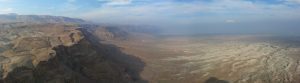
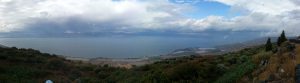
A stormy field-trip day around the southern Golan Heights: Hamat Gader's Roman bathhouse, the Peace Vista over the Sea of Galilee, Gamla's last stand, and the reconstruction at Umm el Kanatir.


Beit Shearim and Zippori
A day in the lower Galilee at Beit Shearim and Zippori: the story of Alexander Zaid, the vast necropolis and tomb of Rabbi Yehuda HaNasi, and Zippori's Roman synagogue, fortress, mosaics and reservoir.


Campus Eilat Day Four: Timna
The final day of Campus Eilat at Timna Park (King Solomon's Mines): the Arches, an ancient copper mine, the Mushroom, an Egyptian hunting-scene inscription, the Midianite temple and King Solomon's Pillars.


Campus Eilat Day One: Northern Arava and Ovda Valley
Day one of Campus Eilat: heading south through the northern Arava and into the Ovda valley, taking in Ein Hatzeva, the Peace Route lookouts, Shacharut, the Leopards Temple and the Kasui sand dunes.


Roman and Byzantine Jerusalem
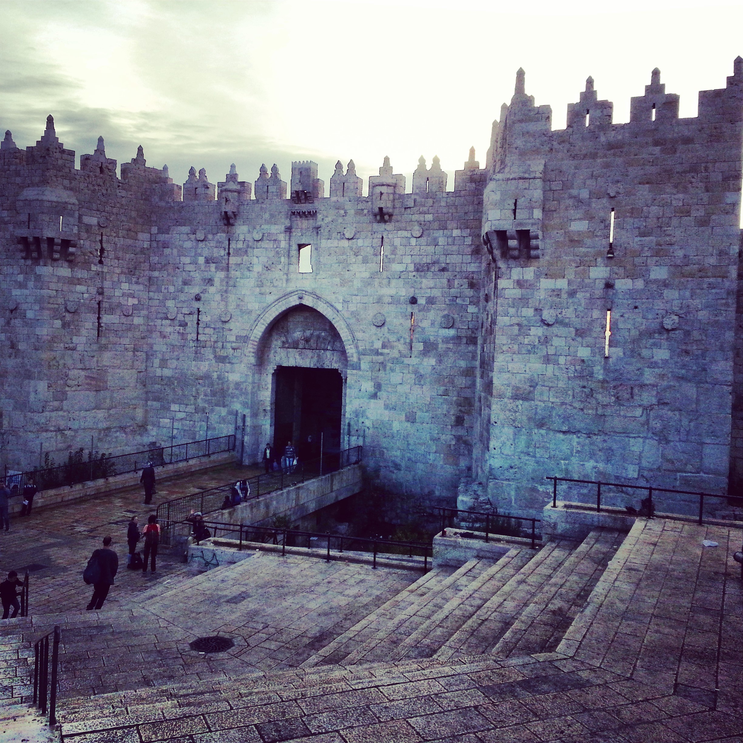
A field-trip day tracing the Roman and Byzantine layers of Jerusalem: Zedekiah's Cave by the Damascus Gate, the arches at Alexander Nevsky, the Byzantine corners of the Holy Sepulchre, the cardo, and the ruins of the Nea Church.


Shivta and Nitzana


If you are going to Israel, you would be mad not to give him a call.
Amol Rajan, BBC presenter and broadcaster
Having been on trips in Israel with seven different tour guides, Samuel stood above all the rest.
Seasoned Israel traveller
Samuel is one part walking encyclopedia, one part storyteller, one part stand-up comedian.
Berkeley Haas Business School student