Crusaders
The Crusader period (1099-1291) left a chain of fortresses and Latin-rite churches across the country. Posts here cover the upper Galilee strongholds, Belvoir overlooking the Jordan Valley, the Crusader Old City of Jerusalem, and the trade towns of Akko and Ramla.
9 articles
9 articles
Safed / Tzefat
A return to Tzefat, where I spent three months on my gap year, this time as a guiding student. Akhbara, Mt Canaan, the kabbalists' synagogues of the Old City and a sunset over the Crusader citadel.


Campus Upper Galilee day one: Western Upper Galilee
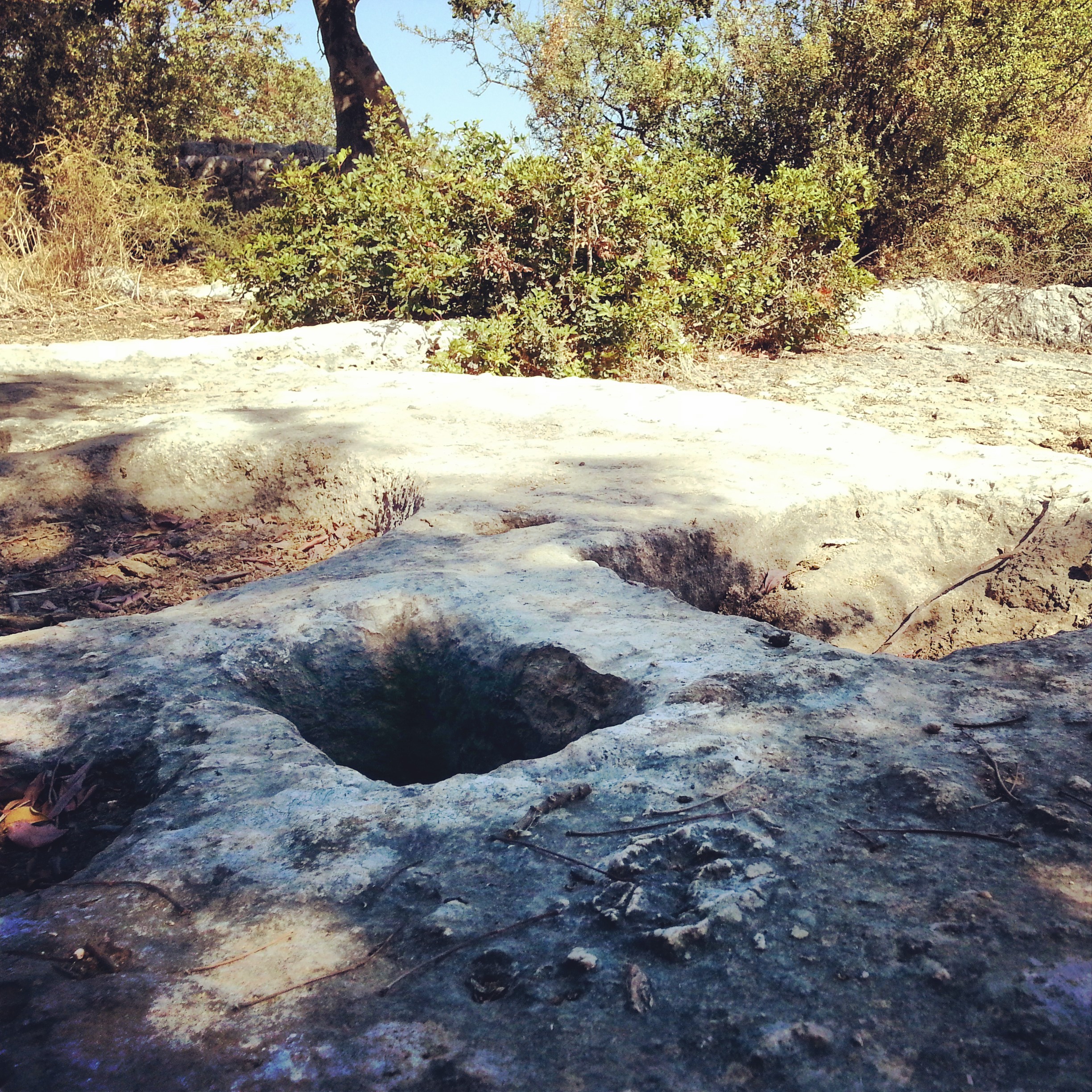
The first day of our three-day campus in the Upper Galilee: an arab cemetery at Kfar Yasif, a crusader sugar refinery, the Adamit and Goren parks, the grottoes at Rosh Hanikra, and two memorials to war-of-independence operations.


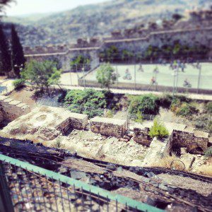
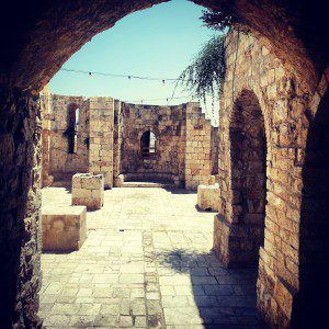
Akko (Acre)
A full day in the old port city of Akko: the British Mandate prison museum, Al-Jazzar Mosque, the Hospitaller Fortress, the Templars' Tunnel, Hammam al-Basha, and the Bahji gardens just outside the walls.


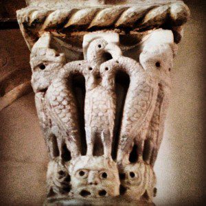
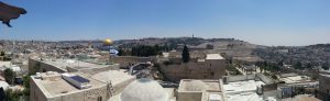
Crusader Jerusalem
A walk through the Old City focused on the Crusader century: the Cenacle on Mount Zion, the Nea Church, the German Knights' hospice, the Crusader market, the Church of the Redeemer and the Holy Sepulchre.
Ramla and Lod
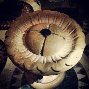
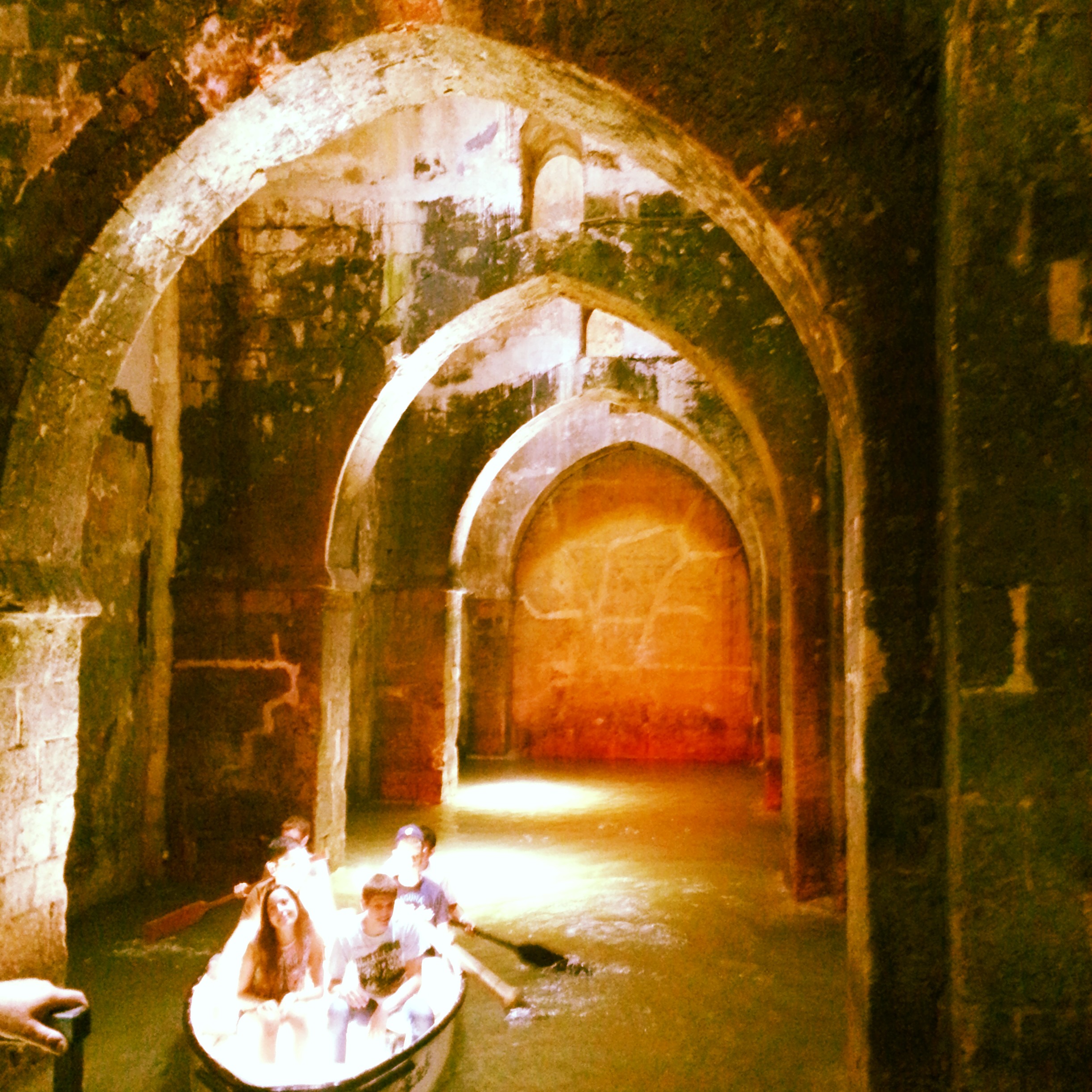
A field trip to two adjacent cities in central Israel: the Karaite Centre, White Tower, Arches Pool and Great Mosque in Ramla, plus the Church of St George in Lod. A surprisingly rewarding day for return visitors.


Belvoir Fortress and Beit Shean
A north-bound field trip south of the Sea of Galilee, taking in the Crusader fortress of Belvoir above the Jordan Valley and the vast Roman and Byzantine ruins of Scythopolis at Beit Shean.


Hula Valley
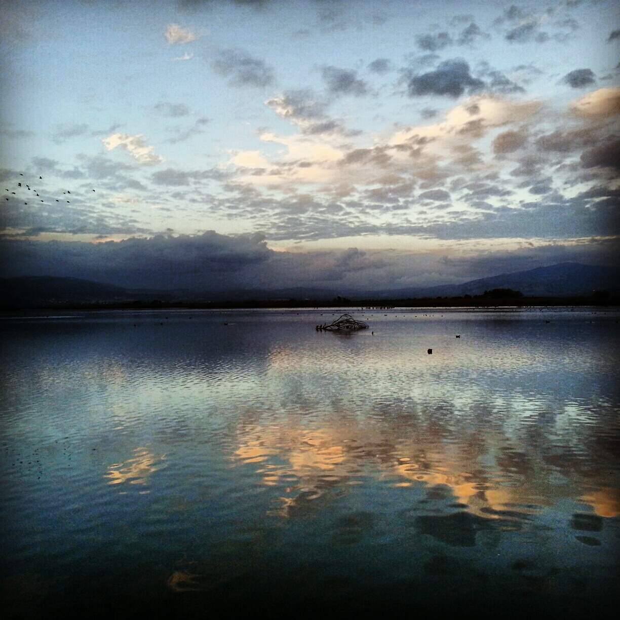
A day in the Hula Valley: Rosh Pina's restored First Aliyah old town, the Mitzpe Nimrod lookout, the Crusader Castle of Chastellet, the Mishmar Hayarden memorial and the Hula and Agamon reserves at dusk when half a billion migrating birds land.


The Sharon Plain
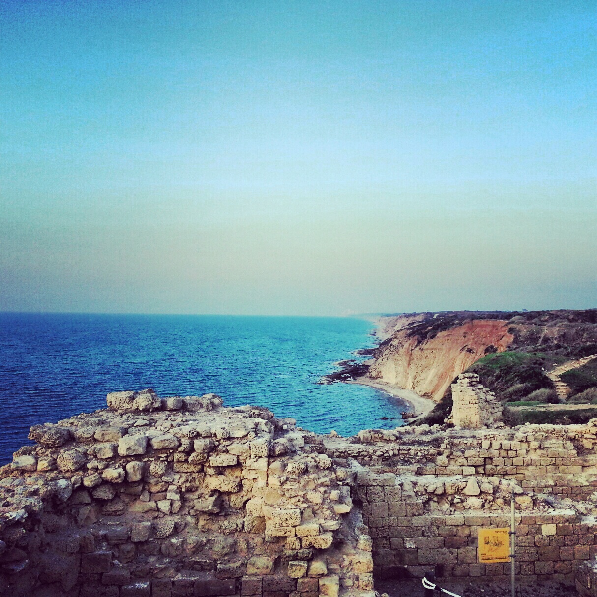
A day on the Sharon coastal plain, off the regular tourist trail: viewpoints at Tzur Natan, an Ottoman tomb on a Samaritan synagogue, the Crusader ruins of Kakun, a soft-shelled turtle hike along Nachal Alexander, the Cheftzi-ba farm, and the cliff-top archaeology of Apollonia.


Nachal Kziv and Montfort Crusader Castle
A day off the course in the western Galilee: hummus at Abu Adham in Kfar Yasif, a wooded hike down Nachal Kziv past springs and an old flour mill, and a steep climb up to the ruins of Montfort Crusader castle.


If you are going to Israel, you would be mad not to give him a call.
Amol Rajan, BBC presenter and broadcaster
Having been on trips in Israel with seven different tour guides, Samuel stood above all the rest.
Seasoned Israel traveller
Samuel is one part walking encyclopedia, one part storyteller, one part stand-up comedian.
Berkeley Haas Business School student