Samuel Green
Samuel has been a licensed tour guide in Israel since 2014 and has won multiple industry awards. In addition to his tour guide license, he has a BA and MA from the University of Cambridge in Hebrew and Israeli Studies. You can follow Samuel's adventures around Israel on his Instagram @myisraeliguide.
114 articles
114 articles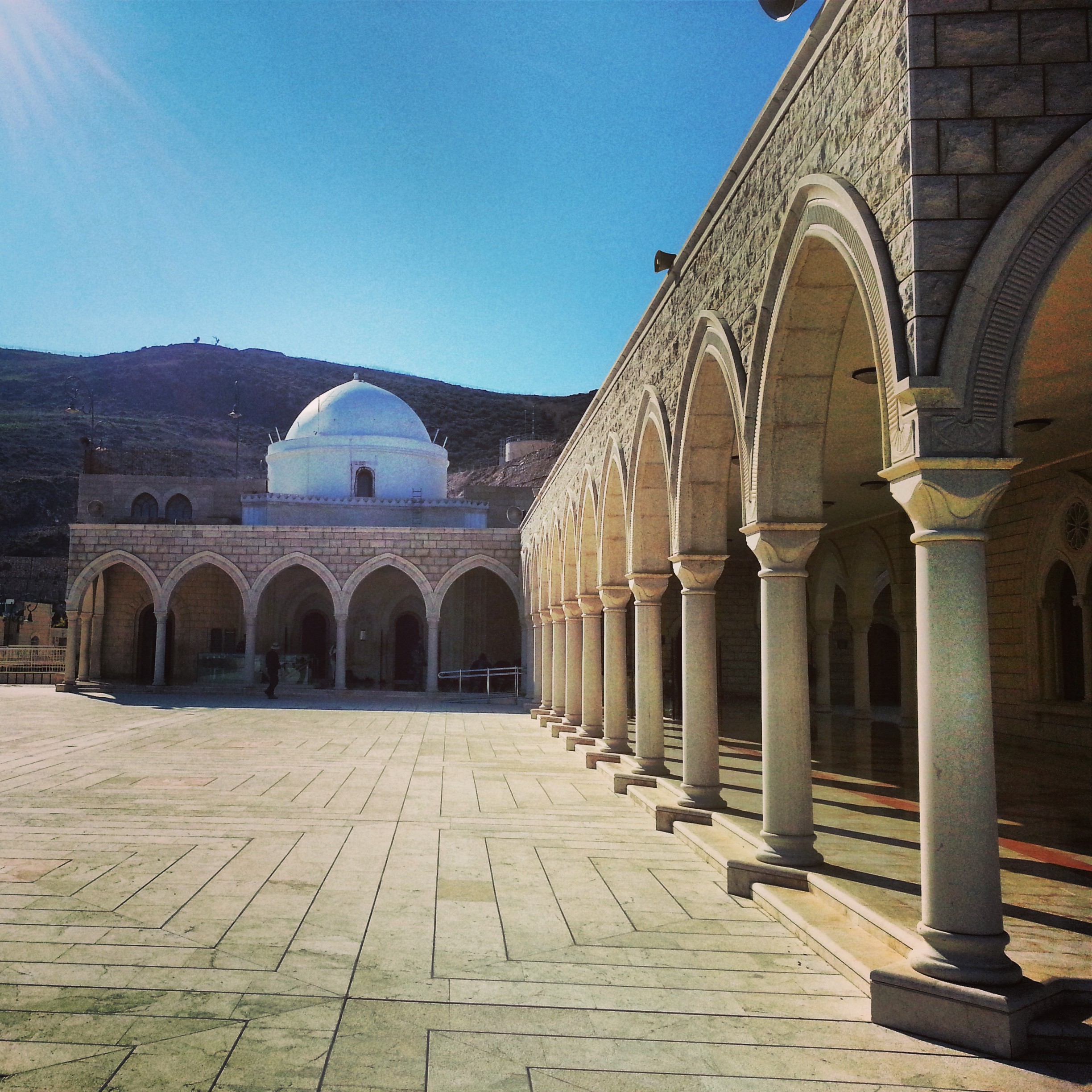
Eastern Lower Galilee
A field trip around the eastern lower Galilee, the basalt-cliff region between the Sea of Galilee and the central Galilee: Mount Arbel and its ancient synagogue, the Druze shrine of Nabi Shu'aib, ancient Korazim, Domus Galilaeae and Tel Mutilla.


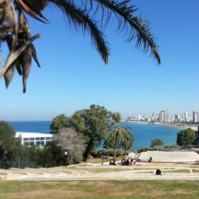
Jaffa
A guided walk through ancient Jaffa: the clock tower, Andromeda’s rock, St Peter’s Church, the Bronze Age excavations, Napoleon’s campaign route and the Protestant cemetery with its surprise occupant.


Masada
A return visit to Masada, the desert fortress and UNESCO site above the Dead Sea: the cistern network, the Roman ramp, the Byzantine church mosaic, the Western Palace, the Northern Palace and one of the world’s oldest synagogues.


The South in 1948
A field trip along the 1948 southern front: the Ad Halom Bridge that stopped the Egyptian advance, Kibbutz Nitzanim and the Women of Valour Centre, Kibbutz Yad Mordechai, and Kibbutz Negba where Operation Yoav broke through into the Negev.


The Road to Jerusalem in 1948
A field trip along the 1948 road to Jerusalem: the Masrek viewpoint over Shaar Hagay, the snow-covered Castel, the Kiriat Anavim cemetery for the Harel Brigade, the Yad Lashiryon Armoured Corps memorial at Latrun, and the Burma Road that finally broke the siege.


Southern Golan Heights
A stormy field-trip day around the southern Golan Heights: Hamat Gader's Roman bathhouse, the Peace Vista over the Sea of Galilee, Gamla's last stand, and the reconstruction at Umm el Kanatir.


Jerusalem in the British Mandate Period
A day touring buildings of the British Mandate period in modern Jerusalem: the Hansen House lepers' home, the garden neighbourhoods of Talbiye and Rechavia, the Tomb of Jason, Yad Ben Zvi, the National Institutions Building, Ratisbonne Monastery and the original Betzalel.


Beit Shearim and Zippori
A day in the lower Galilee at Beit Shearim and Zippori: the story of Alexander Zaid, the vast necropolis and tomb of Rabbi Yehuda HaNasi, and Zippori's Roman synagogue, fortress, mosaics and reservoir.


Campus Eilat Day Four: Timna
The final day of Campus Eilat at Timna Park (King Solomon's Mines): the Arches, an ancient copper mine, the Mushroom, an Egyptian hunting-scene inscription, the Midianite temple and King Solomon's Pillars.


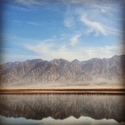
Campus Eilat Day Three: Southern Arava
Day three of Campus Eilat: heading up the Southern Arava — the Eilat Bird Park, the Avrona farms and fugarot tunnels, the Doum Palms, Shechoret Canyon, the Chai Bar and a desert kite, ending with a Chanukah candle lighting back in Eilat.


If you are going to Israel, you would be mad not to give him a call.
Amol Rajan, BBC presenter and broadcaster
Having been on trips in Israel with seven different tour guides, Samuel stood above all the rest.
Seasoned Israel traveller
Samuel is one part walking encyclopedia, one part storyteller, one part stand-up comedian.
Berkeley Haas Business School student