First Temple
The First Temple period runs from Solomon’s building of the Temple in the 10th century BCE through to the Babylonian destruction of 586 BCE. Posts here cover First Temple Jerusalem (the City of David, Hezekiah’s water works), the wider archaeology of the Iron Age kingdoms of Israel and Judah, and the Via Maris trade road that ran along the coast.
12 articles
12 articles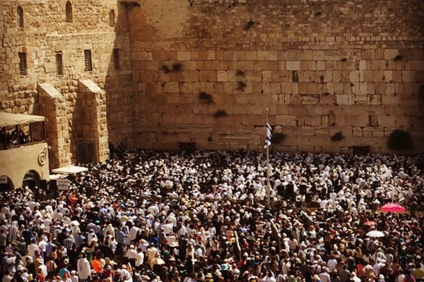
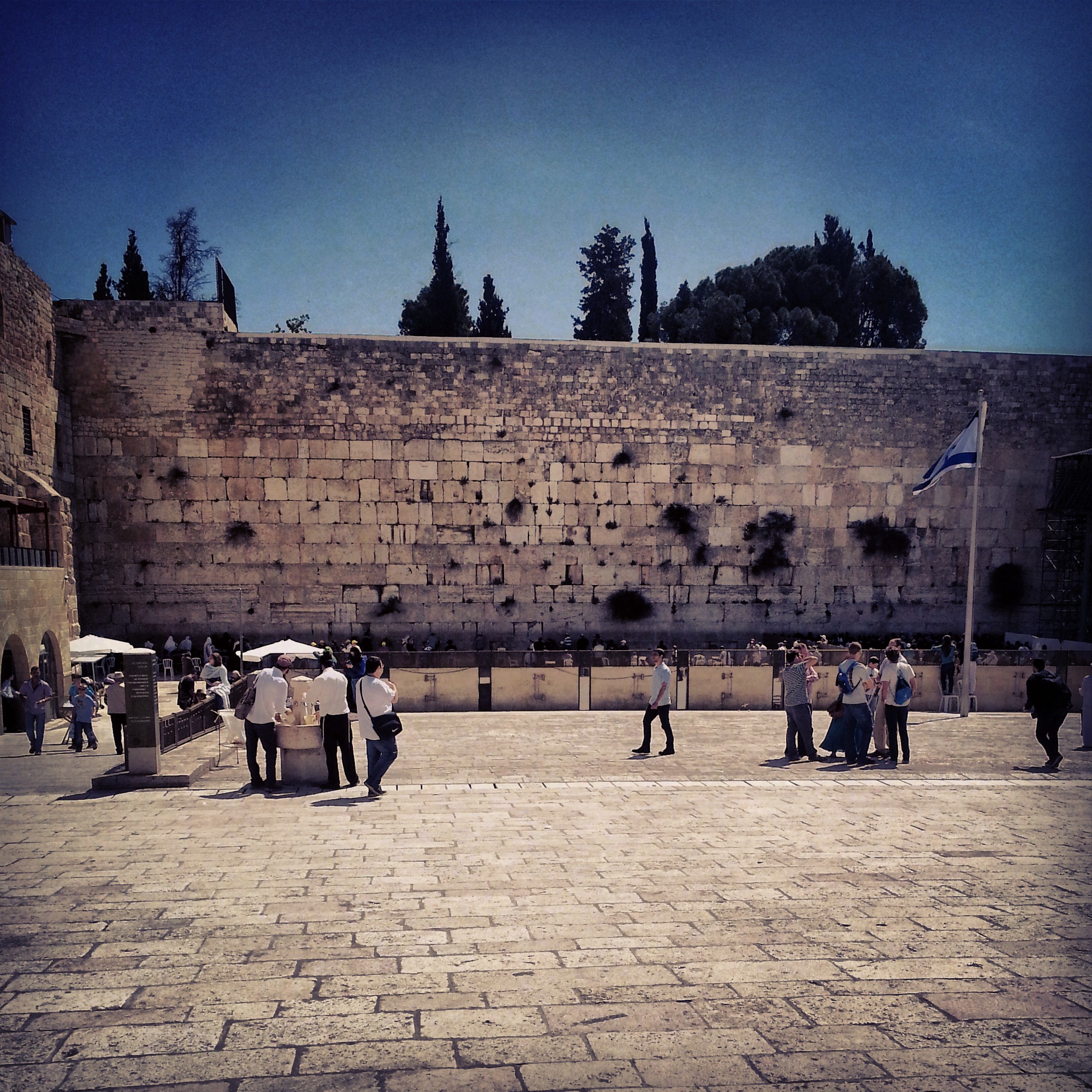
The Priestly Blessing (Birkat HaCohanim) at the Western Wall
The unified Priestly Blessing (Birkat HaCohanim) at the Western Wall: a personal reflection on the service that takes place twice a year, when hundreds of cohanim recite a blessing dating back to the First Temple.
The Judean Mountains
A day in the Judean Mountains west of Jerusalem: archaeological excavations at Motza, the Crusader castle of Belmont, the Sataf farming terraces, the Scroll of Fire Holocaust sculpture, and a sunset from Pilots' Mountain.


The Battles for Jerusalem
A Jerusalem field trip across two wars: the Greek Orthodox monastery of San Simon and its 1948 battle, Kibbutz Ramat Rachel with its First Temple palace remains, and Ammunition Hill, the memorial to the 1967 capture of the Old City.


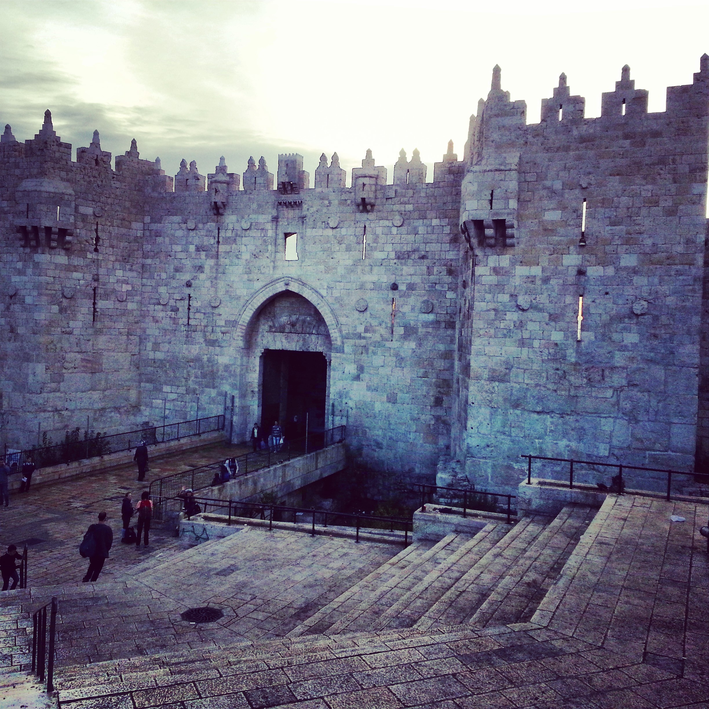
Roman and Byzantine Jerusalem
A field-trip day tracing the Roman and Byzantine layers of Jerusalem: Zedekiah's Cave by the Damascus Gate, the arches at Alexander Nevsky, the Byzantine corners of the Holy Sepulchre, the cardo, and the ruins of the Nea Church.


The Jewish Quarter of the Old City of Jerusalem
A walk through the modern history of the Jewish Quarter of Jerusalem's Old City, visiting the Ramban, the Four Sephardi Synagogues, Tiferet Yisrael, the Karaite Centre and the Hurva, and closing at the memorial for those who fell in 1948.


Jerusalem: a miscellany
A miscellany day in Jerusalem covering sites that don't fit a single theme: the Church of St Etienne, the École Biblique, the Armenian Ceramics Workshop, St George's Cathedral, and Hezekiah's Tunnel in the City of David.


The Shfela (Judean Lowlands) in the Roman & Byzantine Periods
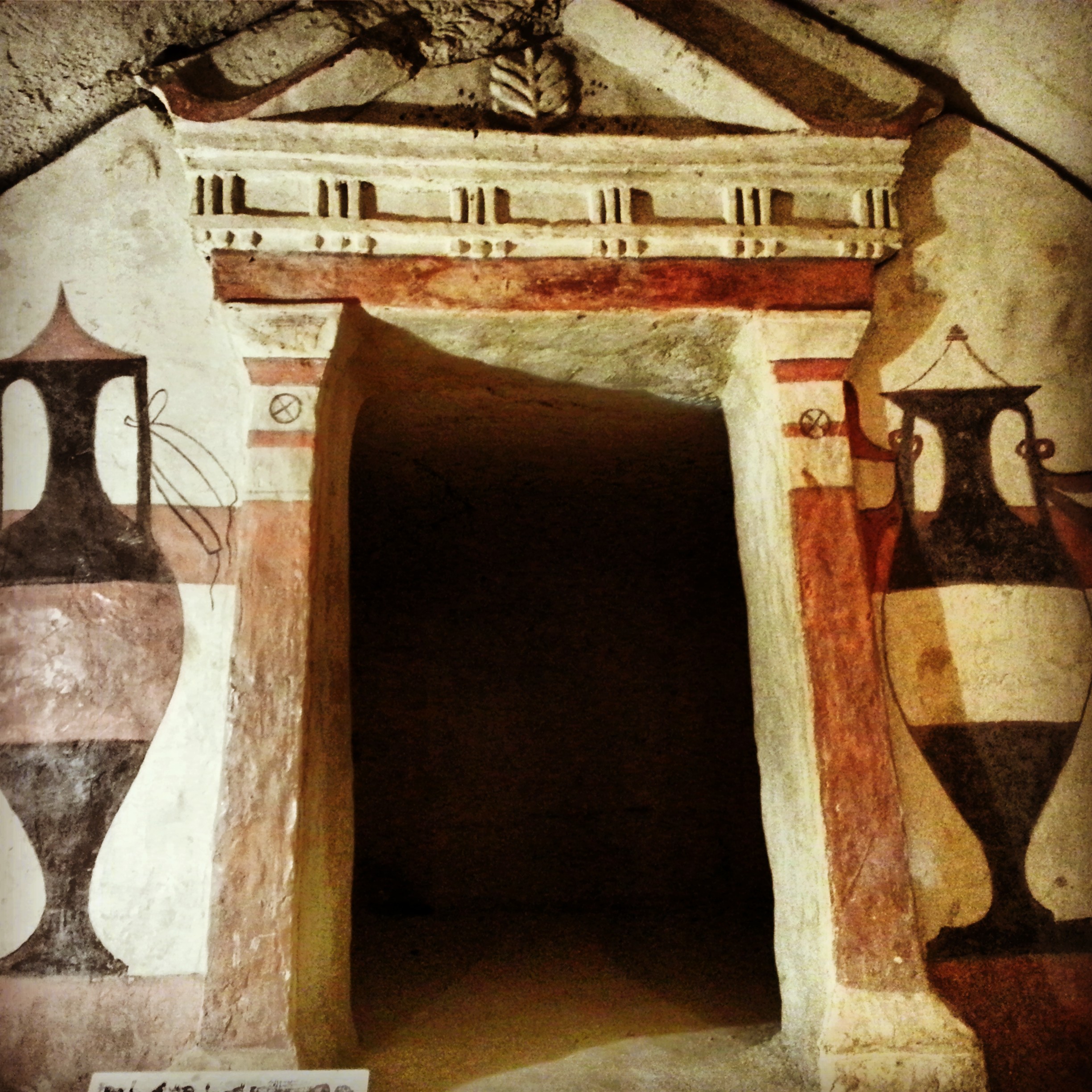
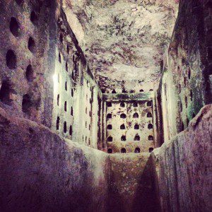
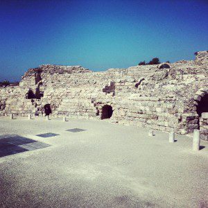
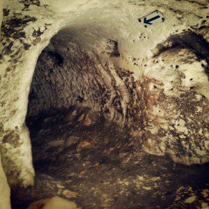
A day across the Judean Lowlands: Tel Maresha's underground caves, the Roman city of Beit Guvrin (Eleutheropolis), and crawling through the Bar Kochba Revolt tunnels at Horvat Midras.


Jerusalem in the Second Temple period
A field trip through Jerusalem's Second Temple period sites: the City of David, the Tyropoeon valley drainage channel, the Davidson Centre, the Burnt House, the Wohl Museum of Archaeology, and the excavations beneath the Western and southern walls of the Temple Mount.


The Via Dolorosa
Walking the Via Dolorosa, station by station from the Antonia fortress to the aedicule in the Church of the Holy Sepulchre. With a morning stop at the Garden Tomb, the Church of St Anne and the Pool of Bethesda.


Jerusalem: First Temple and Second Temple Periods
A field-trip filling in the gaps between the two Jerusalem temple-period days: the Roman 10th Legion's camp under Binyanei Hauma, the Western Wall Tunnels, an advance preview of the Eastern Cardo, the Kidron mausolea and the burial tombs at Ketef Hinnom.


If you are going to Israel, you would be mad not to give him a call.
Amol Rajan, BBC presenter and broadcaster
Having been on trips in Israel with seven different tour guides, Samuel stood above all the rest.
Seasoned Israel traveller
Samuel is one part walking encyclopedia, one part storyteller, one part stand-up comedian.
Berkeley Haas Business School student