Dead Sea
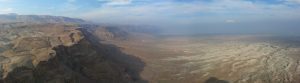
The Dead Sea sits at the lowest point on earth, the salty floor of the long descent that begins in the Jerusalem hills. Posts here include hikes through Ein Gedi, days out at Mount Sedom (the salt diapir at the southern end of the lake), and broader pieces on the Northern Judean Desert as it falls away towards the shore.
10 articles
10 articles
2015: A first full year of guiding in review
Reflecting on 2015, my first full year as a licensed tour guide in Israel; 163 days of guiding, 1866 people from 53 countries, every type of weather, and a real love of the work.

A Return to the Northern Judean Desert
A return trip to the northern Judean Desert with my friend and fellow guide Ori, taking in the Inn of the Good Samaritan, Herodian ruins, Qumran, Kalia beach, the cliffside monastery of St George in Wadi Kelt and the Dead Sea Balcony at Mitzpe Yericho.


Campus Negev Day 1: The Negev Mountains
Day one of the Negev campus. We trace the peaks of the Negev mountains, from Yerucham Park to the Large Makhtesh with its fossilised trees, and on to Ein Yorkeam and the Scorpions' Ascent.


Masada
A return visit to Masada, the desert fortress and UNESCO site above the Dead Sea: the cistern network, the Roman ramp, the Byzantine church mosaic, the Western Palace, the Northern Palace and one of the world’s oldest synagogues.


The Shfela (Judean Lowlands) in the Roman & Byzantine Periods
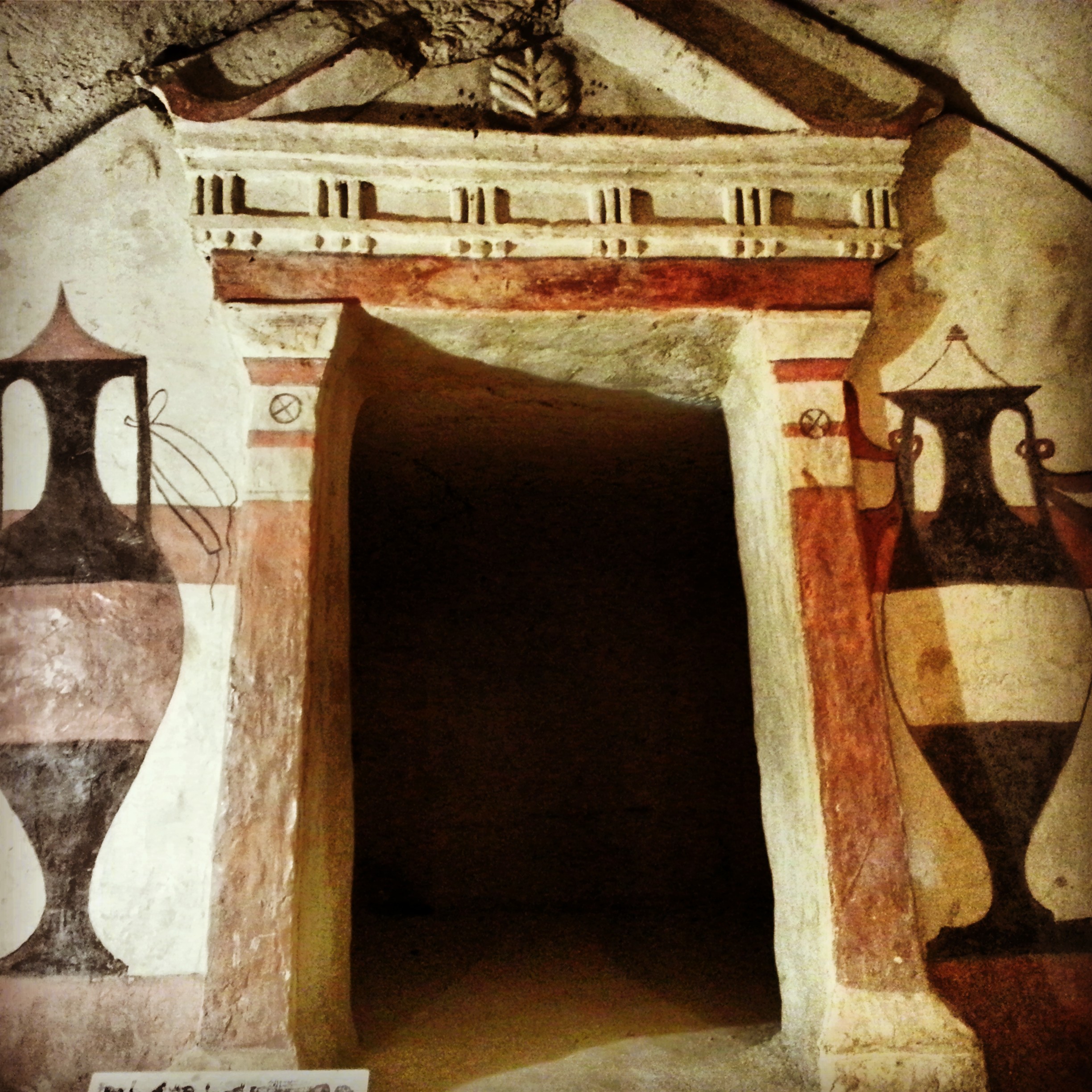
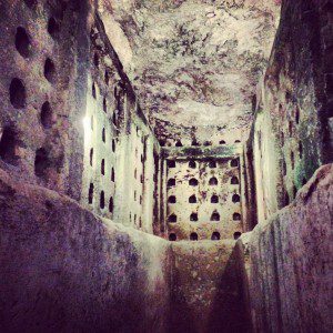
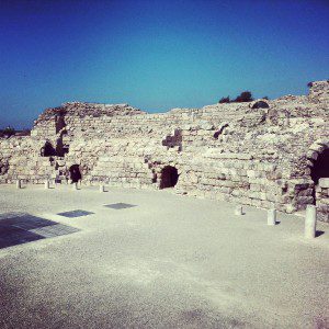
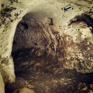
A day across the Judean Lowlands: Tel Maresha's underground caves, the Roman city of Beit Guvrin (Eleutheropolis), and crawling through the Bar Kochba Revolt tunnels at Horvat Midras.


Christianity Around the Sea of Galilee
Day two of our Christian odyssey takes us around the shores of the Kinneret: the Jesus Boat at Ginosar, the Mount of Beatitudes, the two churches at Tabgha, Capernaum, Kursi and Yardenit. With a quick lunch of St Peter's Fish in the middle.


Benjamin and Samaria
A field trip into the West Bank: the archaeological site at Shiloh (briefly home to the tabernacle), a fog-bound viewpoint from Mt Kabir, and Mt Gerizim — holy site of the Samaritans.


Ein Gedi
Ein Gedi on the western shore of the Dead Sea: a hike up the David stream past plunge pools and a Chalcolithic temple, a Byzantine synagogue with a cryptic curse, the date palm groves, the Dead Sea sinkholes and a final stop at the kibbutz botanical gardens.


Mount Sedom
Our third trip on the guiding course took us back to the Dead Sea region: the Meitzad Zohar viewpoint, the badlands of Nachal Peratzim, a hike across the salt mountain of Mount Sedom and a final stop at the Dead Sea factories.


Northern Judean Desert
First trip of the guiding course took us down into the northern Judean Desert, from the Inn of the Good Samaritan and the Wadi Kelt viewpoint to Einot Tzukim, Qumran and Nabi Musa. Twelve hours, eight sites, plenty of Hebrew vocabulary added to the lexicon.


If you are going to Israel, you would be mad not to give him a call.
Amol Rajan, BBC presenter and broadcaster
Having been on trips in Israel with seven different tour guides, Samuel stood above all the rest.
Seasoned Israel traveller
Samuel is one part walking encyclopedia, one part storyteller, one part stand-up comedian.
Berkeley Haas Business School student