Samuel Green
Samuel has been a licensed tour guide in Israel since 2014 and has won multiple industry awards. In addition to his tour guide license, he has a BA and MA from the University of Cambridge in Hebrew and Israeli Studies. You can follow Samuel's adventures around Israel on his Instagram @myisraeliguide.
114 articles
114 articles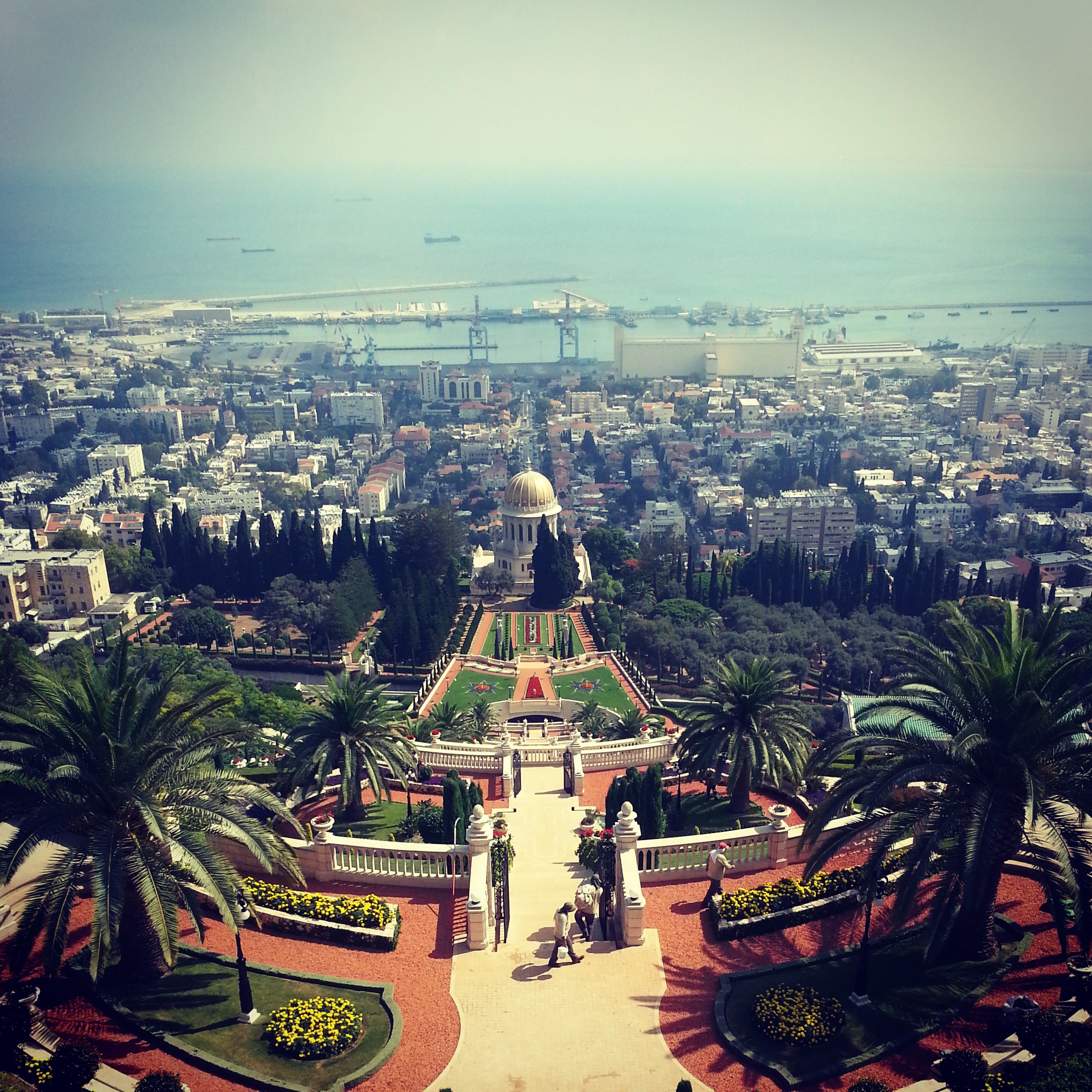
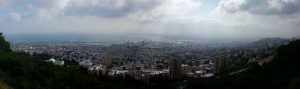
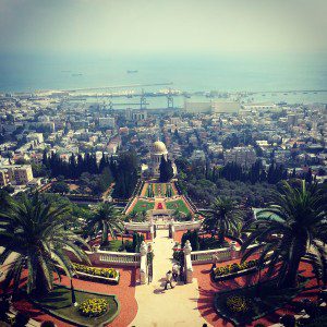
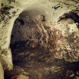
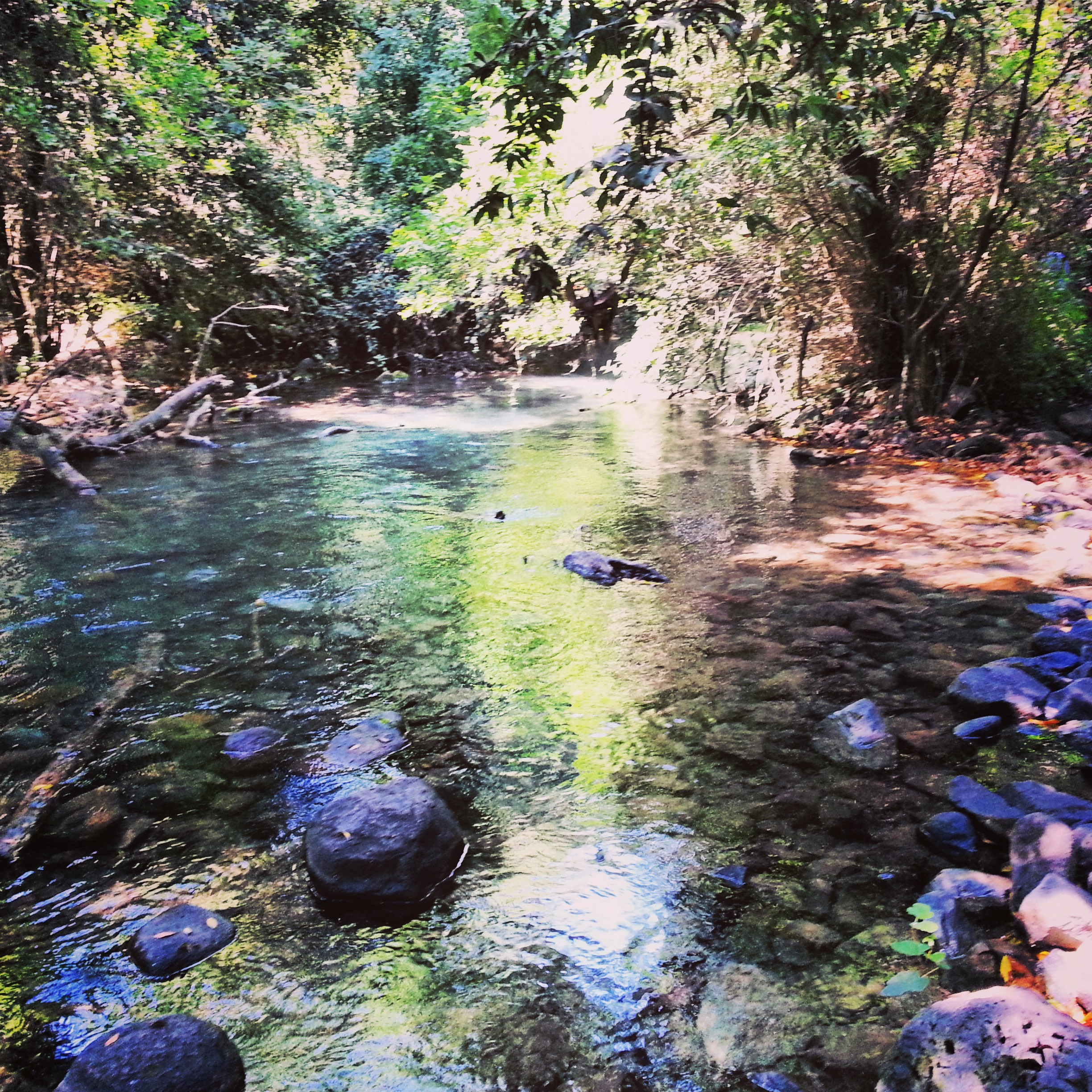
Haifa
A day in Haifa: the Bahai Gardens spilling down Mount Carmel, the Ahmadiyya mosque, Stella Maris and the cave of Elijah, the German Colony, and a hike in Nachal Siach to round off.

Crusader Jerusalem
A walk through the Old City focused on the Crusader century: the Cenacle on Mount Zion, the Nea Church, the German Knights' hospice, the Crusader market, the Church of the Redeemer and the Holy Sepulchre.
The Shfela (Judean Lowlands) in the Roman & Byzantine Periods
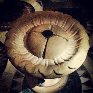
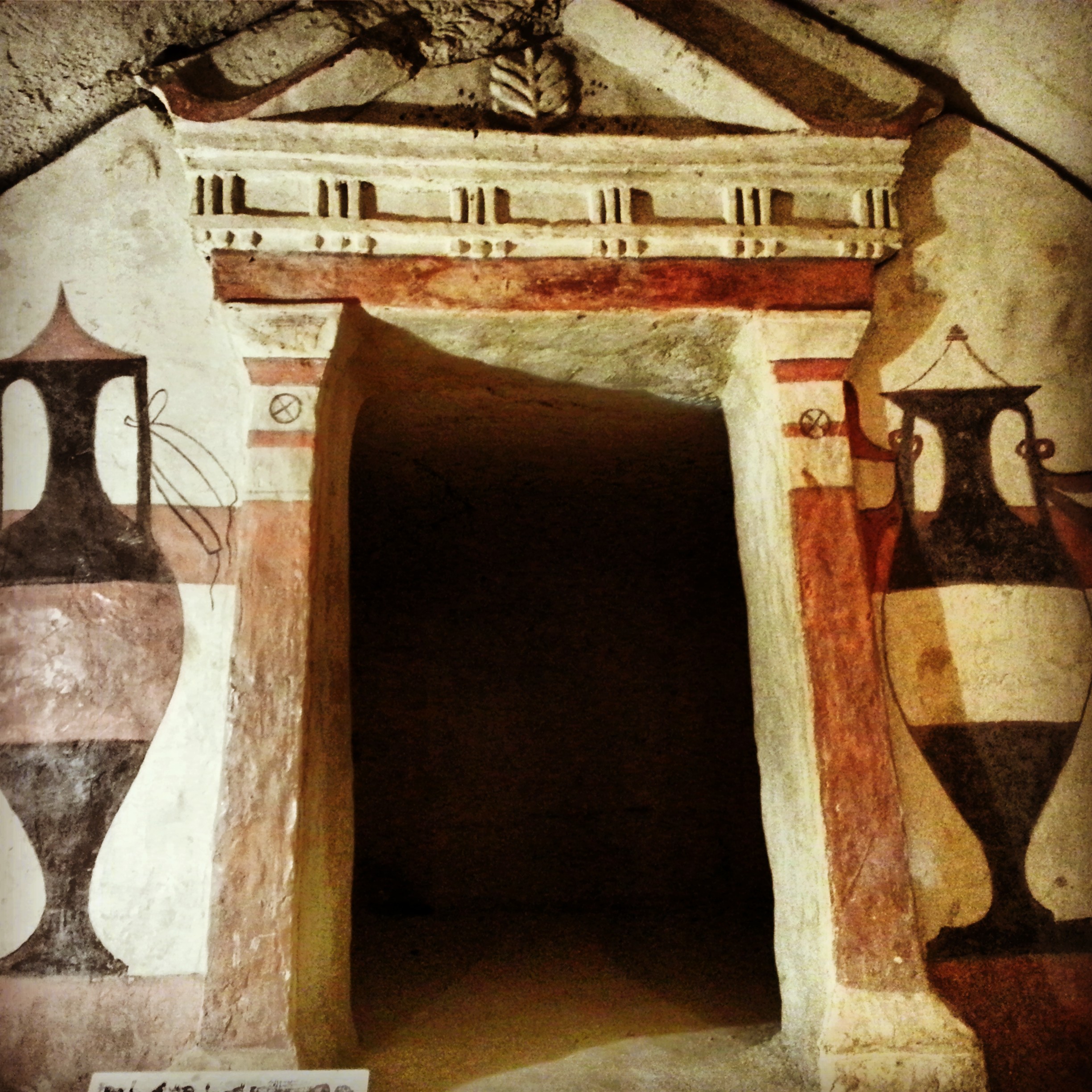
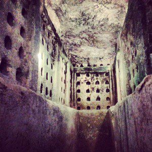
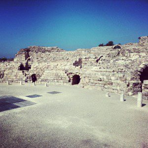
A day across the Judean Lowlands: Tel Maresha's underground caves, the Roman city of Beit Guvrin (Eleutheropolis), and crawling through the Bar Kochba Revolt tunnels at Horvat Midras.


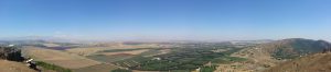
Campus Golan Day 3: Mount Hermon
Day 3 of our Golan Heights course: up the Mt Hermon chairlift for views into Syria and Lebanon, then the Druze tomb of Nabi Hazuri, the Nimrod Fortress, the waterfalls at Banias and a sombre stop at the Helicopters Memorial.


Campus Golan Day 2: the Lower Hermon and the Northern Golan Heights
Day 2 of our Golan Heights course: Tel Dan's salamander, the world's oldest arch, the Hellenist temple at Banias, the Yom Kippur battlefields at Mt Bental and the Valley of Tears, and a kumzitz to close.


Campus Golan Day 1: Central Golan Heights
Day 1 of the Golan Heights campus: a hike down Nachal Jilabun, wine tasting at the Golan Heights Winery, the Talmudic Village of Katzrin, and memorials at Mitzpe Gadot and Tel Faher.


Christianity in the Judean Hills
The final of five field trips on Christian sites: Abu Ghosh, Ein Kerem and Beit Jamal. Crusader churches, the birthplace of John the Baptist and a Salesian monastery on the way home.


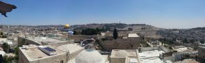
Muslim Jerusalem
Exploring Muslim Jerusalem: a morning on the Temple Mount platform with the Dome of the Rock and al-Aqsa, then through the Muslim Quarter learning to read Mamluk architecture, with a stop at Abu Shukri and the Little Western Wall.


Jerusalem in the Second Temple period
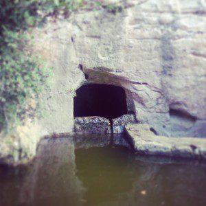
A field trip through Jerusalem's Second Temple period sites: the City of David, the Tyropoeon valley drainage channel, the Davidson Centre, the Burnt House, the Wohl Museum of Archaeology, and the excavations beneath the Western and southern walls of the Temple Mount.


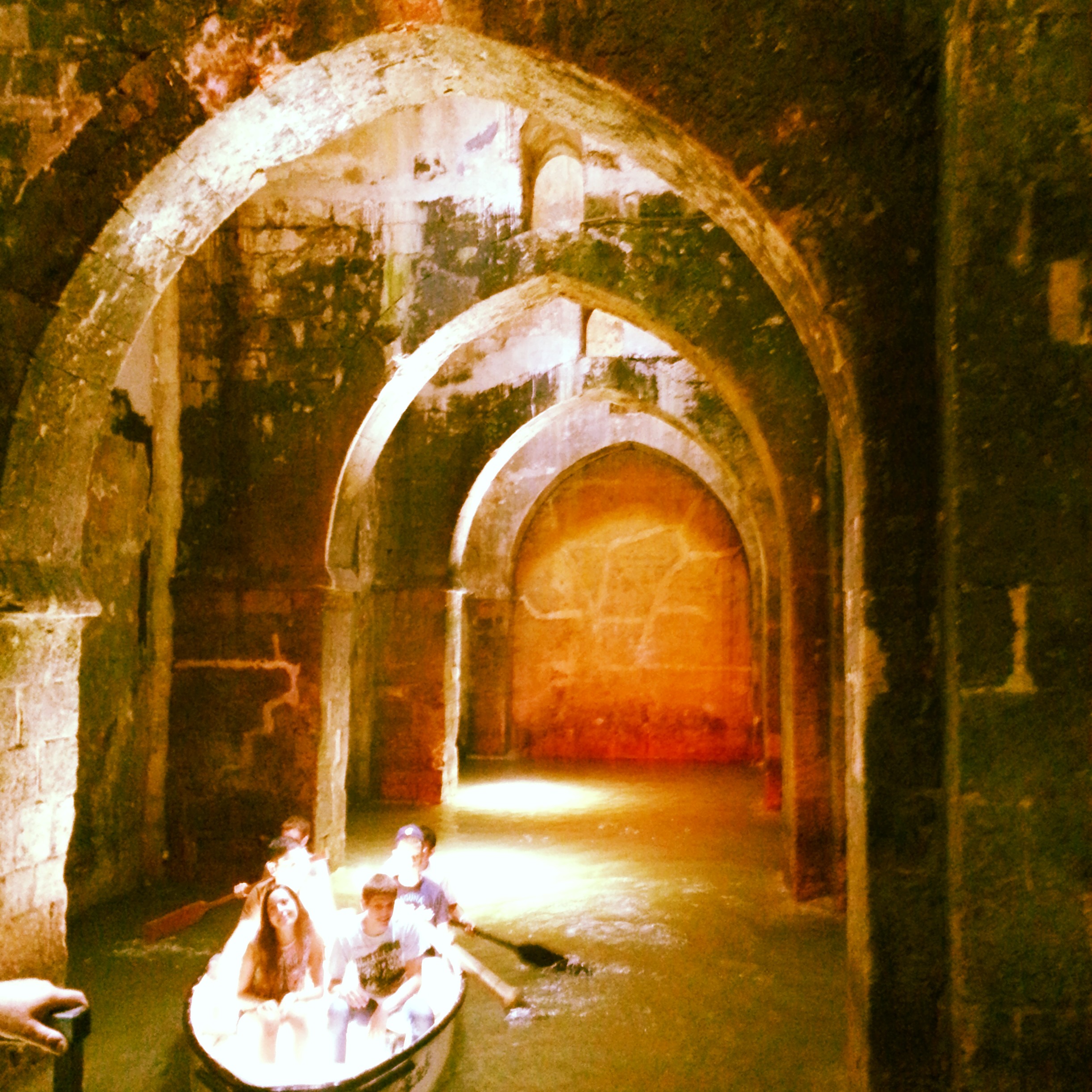
Ramla and Lod
A field trip to two adjacent cities in central Israel: the Karaite Centre, White Tower, Arches Pool and Great Mosque in Ramla, plus the Church of St George in Lod. A surprisingly rewarding day for return visitors.


If you are going to Israel, you would be mad not to give him a call.
Amol Rajan, BBC presenter and broadcaster
Having been on trips in Israel with seven different tour guides, Samuel stood above all the rest.
Seasoned Israel traveller
Samuel is one part walking encyclopedia, one part storyteller, one part stand-up comedian.
Berkeley Haas Business School student