Blog
Tour writeups, reflections on guiding and the occasional practical guide.
All articles
114 articles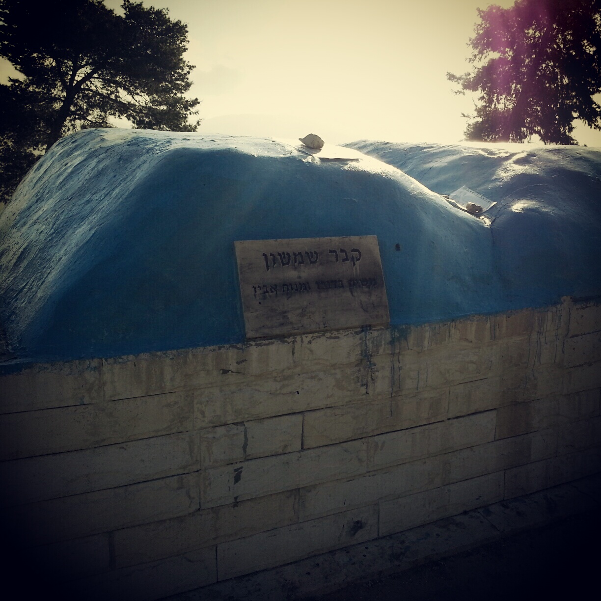
The Biblical Judean Lowlands (Shfela)
A field-trip day across the Judean Lowlands (Shfela) — the Tzora forest, Tel Beit Shemesh, the recently discovered Khirbet Qeiyafa, Tel Azeka over the valley of David and Goliath, and Tel Lachish.


Archaeology of the Biblical Negev
A field-trip day through the biblical Negev — the Joe Alon Centre for Bedouin culture, then south to the UNESCO-listed Tel Beer Sheva and the early-Canaanite ruins of Tel Arad.


The Ancient Sea Road (Via Maris)
A storm-soaked field trip along the ancient Sea Road: El Ahwat, the Katzir viewpoint, Tel Megiddo and Tel Jezreel, the Beit Alfa synagogue mosaic, and a hail-pelted finale on the Gilboa ridge.


The Jordan Valley
A field trip down the Jordan Valley: the Byzantine monasteries of Martyrius, St Euthymius and St Gerassimos; the baptism site at Qasr el Yahud; the Jordan Valley Monument; and an evening sing-song at the Mabua spring.


The Lower Galil
A first overview of the Lower Galil: the ancient mound of Tel Chanaton, the Muslim Arab villages of Kaukab Abu al-Hija and Deir Hanna, the ruined city of Yodfat, the meditative village of Hararit and the communal settlement of Avtaliyon.


Tel Aviv Museums
A field-trip day around Tel Aviv University — the Zoological Gardens, the Botanical Gardens, the Palmach Museum and the Diaspora Museum, with a chameleon cameo and a touching memorial.


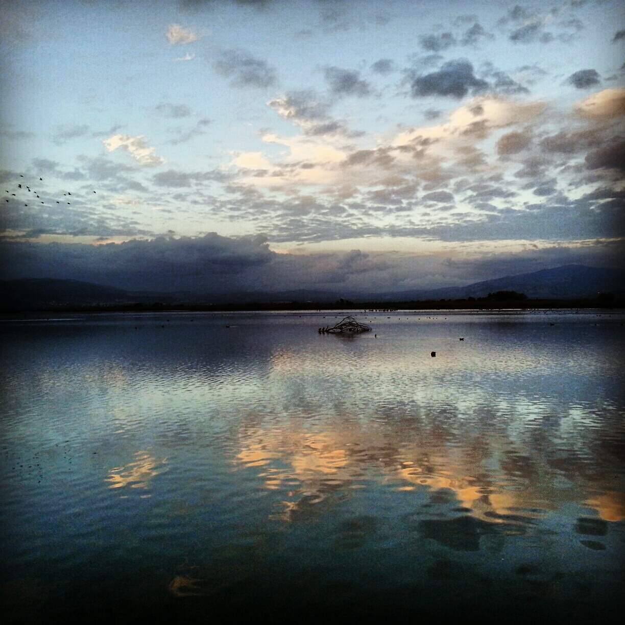
Hula Valley
A day in the Hula Valley: Rosh Pina's restored First Aliyah old town, the Mitzpe Nimrod lookout, the Crusader Castle of Chastellet, the Mishmar Hayarden memorial and the Hula and Agamon reserves at dusk when half a billion migrating birds land.


Ein Gedi
Ein Gedi on the western shore of the Dead Sea: a hike up the David stream past plunge pools and a Chalcolithic temple, a Byzantine synagogue with a cryptic curse, the date palm groves, the Dead Sea sinkholes and a final stop at the kibbutz botanical gardens.


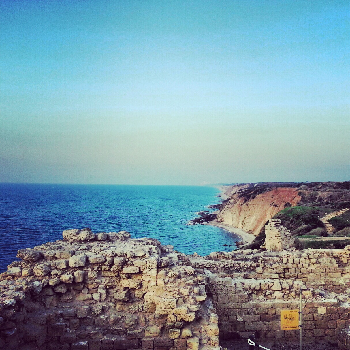
The Sharon Plain
A day on the Sharon coastal plain, off the regular tourist trail: viewpoints at Tzur Natan, an Ottoman tomb on a Samaritan synagogue, the Crusader ruins of Kakun, a soft-shelled turtle hike along Nachal Alexander, the Cheftzi-ba farm, and the cliff-top archaeology of Apollonia.


Mount Sedom
Our third trip on the guiding course took us back to the Dead Sea region: the Meitzad Zohar viewpoint, the badlands of Nachal Peratzim, a hike across the salt mountain of Mount Sedom and a final stop at the Dead Sea factories.


If you are going to Israel, you would be mad not to give him a call.
Amol Rajan, BBC presenter and broadcaster
Having been on trips in Israel with seven different tour guides, Samuel stood above all the rest.
Seasoned Israel traveller
Samuel is one part walking encyclopedia, one part storyteller, one part stand-up comedian.
Berkeley Haas Business School student