Blog
Tour writeups, reflections on guiding and the occasional practical guide.
All articles
114 articles
Belvoir Fortress and Beit Shean
A north-bound field trip south of the Sea of Galilee, taking in the Crusader fortress of Belvoir above the Jordan Valley and the vast Roman and Byzantine ruins of Scythopolis at Beit Shean.


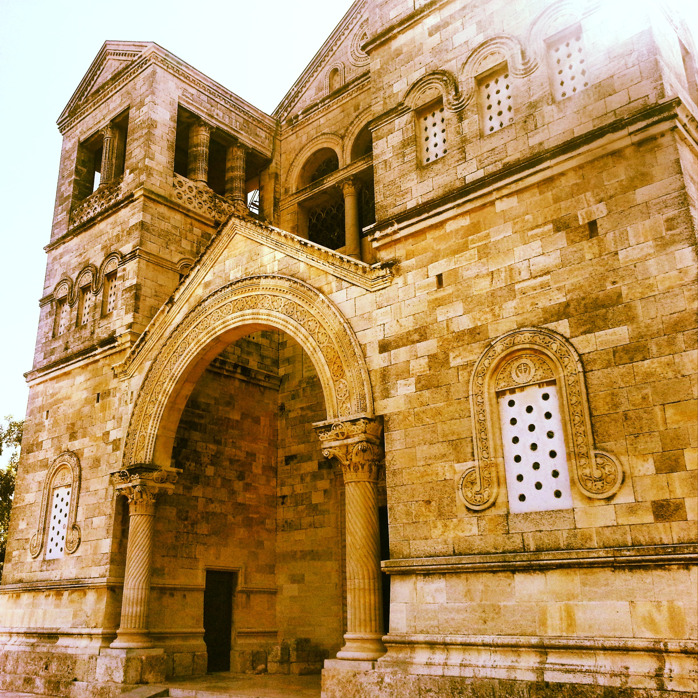
The Via Dolorosa
Walking the Via Dolorosa, station by station from the Antonia fortress to the aedicule in the Church of the Holy Sepulchre. With a morning stop at the Garden Tomb, the Church of St Anne and the Pool of Bethesda.


Christianity on the Mount of Olives and Mount Zion
A walking tour of the Christian sites surrounding the final days of Jesus: from the Chapel of the Ascension on the Mount of Olives, down through Gethsemane, and up to the Last Supper room and St Peter in Gallicantu on Mount Zion.


Christianity Around the Sea of Galilee
Day two of our Christian odyssey takes us around the shores of the Kinneret: the Jesus Boat at Ginosar, the Mount of Beatitudes, the two churches at Tabgha, Capernaum, Kursi and Yardenit. With a quick lunch of St Peter's Fish in the middle.


Christianity in the Galilee
My first Christianity-focused field trip in the Galilee: the Church of the Transfiguration on Mt Tabor, the wedding-miracle churches at Kfar Kana, four churches in Nazareth, and the views from Mount Precipice.


Benjamin and Samaria
A field trip into the West Bank: the archaeological site at Shiloh (briefly home to the tabernacle), a fog-bound viewpoint from Mt Kabir, and Mt Gerizim — holy site of the Samaritans.


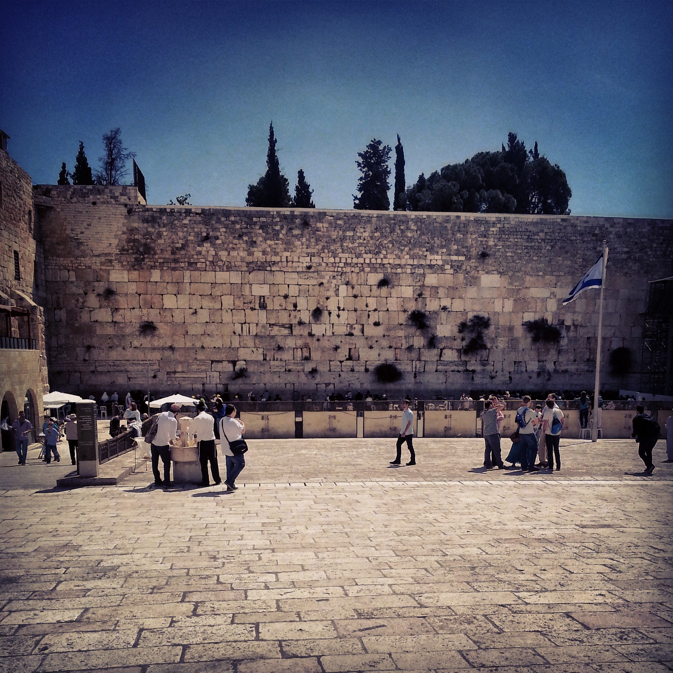
Jerusalem: First Temple and Second Temple Periods
A field-trip filling in the gaps between the two Jerusalem temple-period days: the Roman 10th Legion's camp under Binyanei Hauma, the Western Wall Tunnels, an advance preview of the Eastern Cardo, the Kidron mausolea and the burial tombs at Ketef Hinnom.


Nabatean Cities in the Negev
A field-trip to two of the Nabatean cities of the Negev, Mamshit and Avdat, now a UNESCO world heritage site: the ingenious cisterns, the spice and wine trade, the assimilation into Roman and then Byzantine Christian culture.


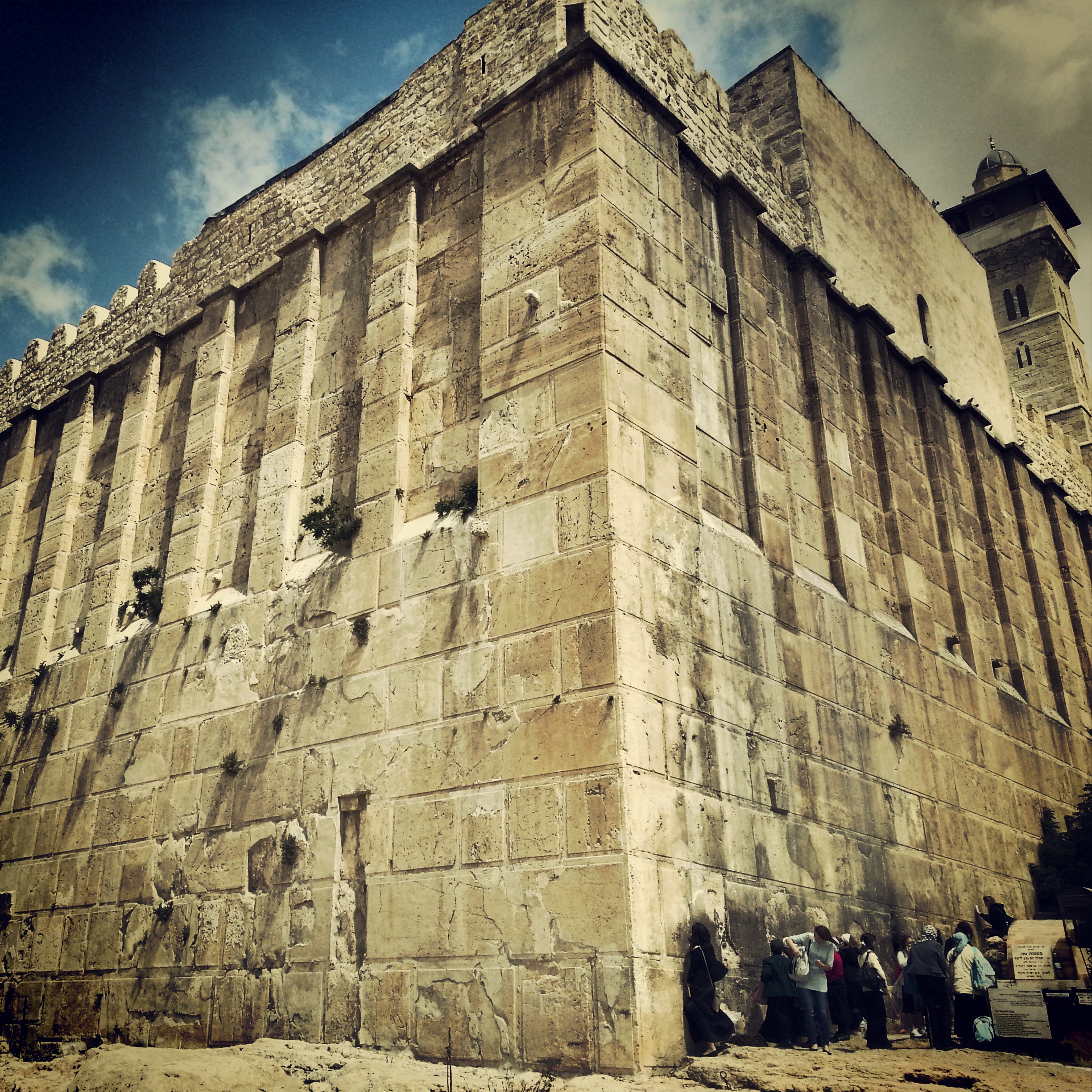
South Mount Hebron
Returning from glandular fever for a complex field-trip to the South Hebron Hills: the Cave of Machpela, Tel Rumeida, the Byzantine ruins of Susya and Anim, and the illegal outpost at Avigail. Politics unavoidable, the day deeply absorbing.


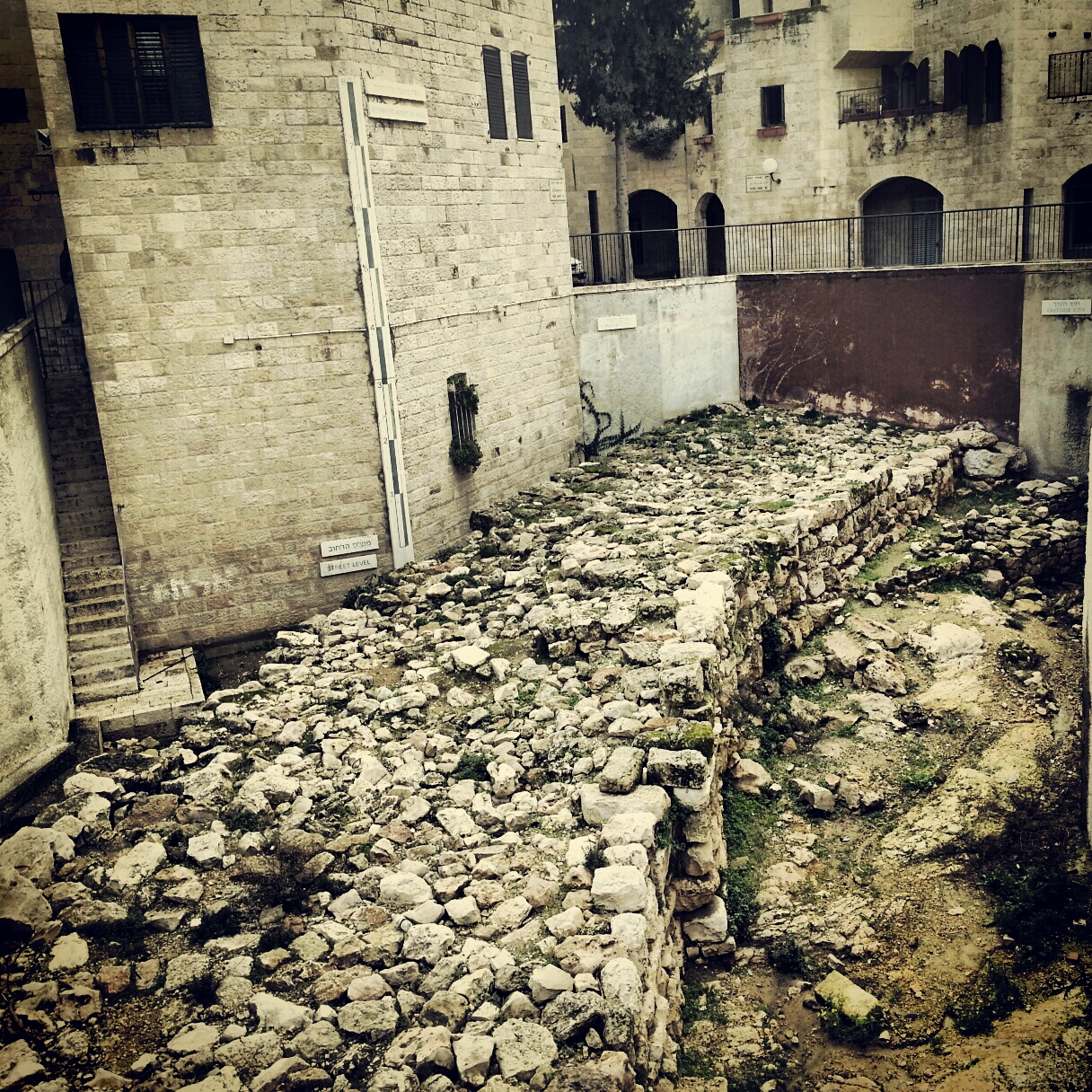
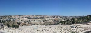
Jerusalem in the First Temple Period
Our first field-trip to Jerusalem, focusing on the First Temple period: a panorama from the Haas Promenade, the archaeology of the City of David, Hezekiah's Broad Wall and the Israelite gate tower, and the Ariel Centre's model of the early city.


If you are going to Israel, you would be mad not to give him a call.
Amol Rajan, BBC presenter and broadcaster
Having been on trips in Israel with seven different tour guides, Samuel stood above all the rest.
Seasoned Israel traveller
Samuel is one part walking encyclopedia, one part storyteller, one part stand-up comedian.
Berkeley Haas Business School student