Centre
Central Israel covers Jerusalem, Tel Aviv, and the coastal plain between them, a stretch packed with history. The posts here range from Caesarea on the coast through Bethlehem in the Judean Hills, the Jordan Valley, and Tel Aviv’s modern skyline. The geography is small but the historical and cultural concentration is hard to overstate.
37 articles
37 articles
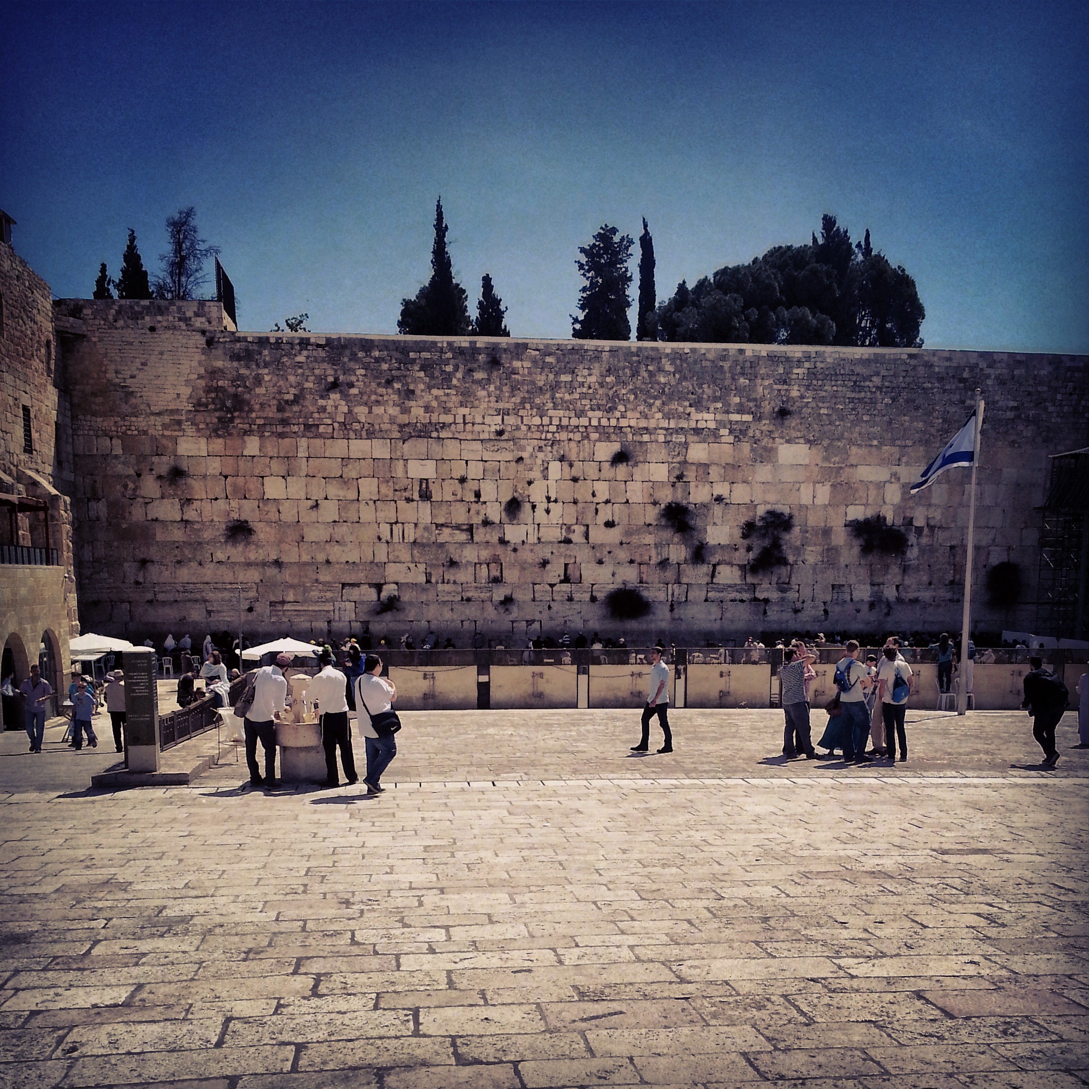
Christianity on the Mount of Olives and Mount Zion
A walking tour of the Christian sites surrounding the final days of Jesus: from the Chapel of the Ascension on the Mount of Olives, down through Gethsemane, and up to the Last Supper room and St Peter in Gallicantu on Mount Zion.
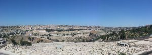


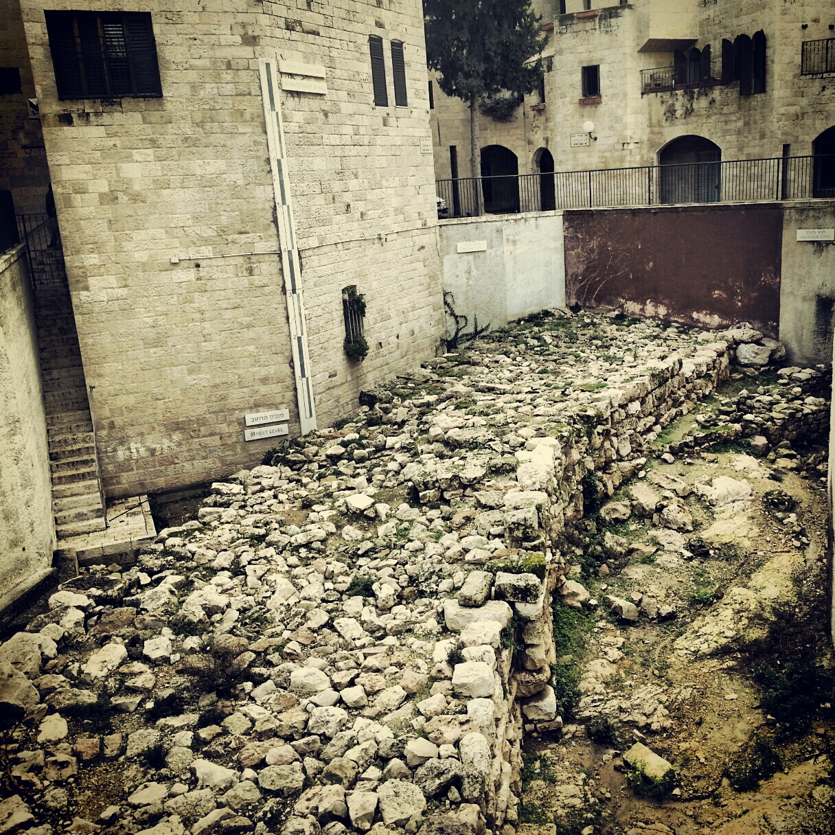
Jerusalem: First Temple and Second Temple Periods
A field-trip filling in the gaps between the two Jerusalem temple-period days: the Roman 10th Legion's camp under Binyanei Hauma, the Western Wall Tunnels, an advance preview of the Eastern Cardo, the Kidron mausolea and the burial tombs at Ketef Hinnom.


Jerusalem in the First Temple Period
Our first field-trip to Jerusalem, focusing on the First Temple period: a panorama from the Haas Promenade, the archaeology of the City of David, Hezekiah's Broad Wall and the Israelite gate tower, and the Ariel Centre's model of the early city.


The Biblical Judean Lowlands (Shfela)
A field-trip day across the Judean Lowlands (Shfela) — the Tzora forest, Tel Beit Shemesh, the recently discovered Khirbet Qeiyafa, Tel Azeka over the valley of David and Goliath, and Tel Lachish.


The Jordan Valley
A field trip down the Jordan Valley: the Byzantine monasteries of Martyrius, St Euthymius and St Gerassimos; the baptism site at Qasr el Yahud; the Jordan Valley Monument; and an evening sing-song at the Mabua spring.


Tel Aviv Museums
A field-trip day around Tel Aviv University — the Zoological Gardens, the Botanical Gardens, the Palmach Museum and the Diaspora Museum, with a chameleon cameo and a touching memorial.


The Sharon Plain
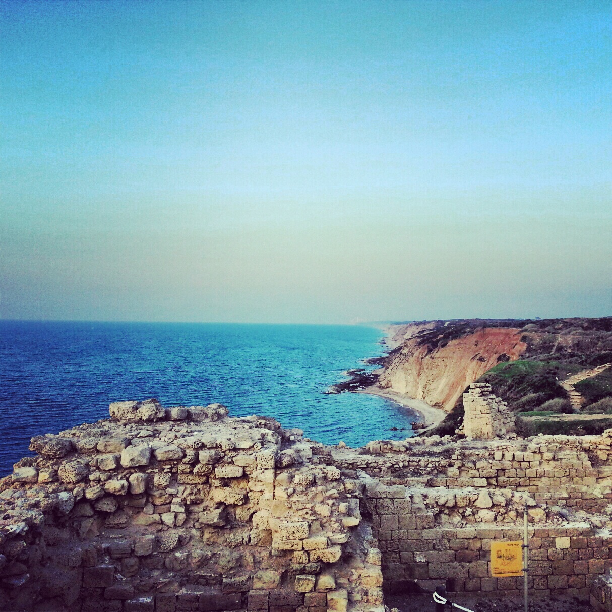
A day on the Sharon coastal plain, off the regular tourist trail: viewpoints at Tzur Natan, an Ottoman tomb on a Samaritan synagogue, the Crusader ruins of Kakun, a soft-shelled turtle hike along Nachal Alexander, the Cheftzi-ba farm, and the cliff-top archaeology of Apollonia.


If you are going to Israel, you would be mad not to give him a call.
Amol Rajan, BBC presenter and broadcaster
Having been on trips in Israel with seven different tour guides, Samuel stood above all the rest.
Seasoned Israel traveller
Samuel is one part walking encyclopedia, one part storyteller, one part stand-up comedian.
Berkeley Haas Business School student