Having concluded our study of Israel’s wars in class, we were now to go out into the field to get a better idea of the story behind the 1948 Israeli War of Independence, the longest and most difficult war that has been fought in Israel’s history, with 1% of the population killed in action. Although we have been touching on the wars in our tours around the country, these two trips are dedicated to two of the most serious fronts of the war: the road to Jerusalem and then the south of the country. Both Jerusalem and the south were cut off from the rest of the country and were effectively put under siege; difficult and costly battles were fought to break through. Today’s tour was dedicated to the road to Jerusalem in 1948; next week we shall explore the Southern Front.
Quick facts & guide tips
| Where | The Jerusalem corridor along Route 1, west of Jerusalem: the Masrek Nature Reserve, the Castel, Kiriat Anavim, Latrun and Neve Shalom |
|---|---|
| Key sites | Masrek viewpoint over Shaar Hagay / Bab-el-Wad, the Castel, the Kiriat Anavim cemetery for the Harel Brigade, the Memorial for the Armoured Corps (Yad Lashiryon) at Latrun, and a Burma Road viewpoint near Neve Shalom |
| Period | 1948 War of Independence (Modern Period) |
| Access | Sites strung along Route 1 between Tel Aviv and Jerusalem; the Castel and Yad Lashiryon are formal national sites with their own opening hours, while the viewpoints and the Kiriat Anavim cemetery are open-access |
The Masrek Nature Reserve and Shaar Hagay / Bab-el-Wad
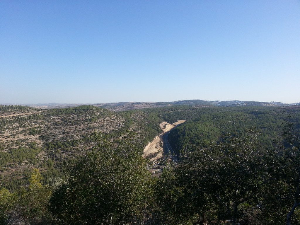
We began our day near the small village of Shoresh, just off route 1, in the Masrek Nature Reserve. Hiking along the ridge, we reached a viewpoint over Shaar Hagay, known by many by its Arabic name, Bab-el-Wad. Both translate as ‘the Gate of the Valley’. Here, the road to Jerusalem ascends through a narrow gorge. Our guide explained that the local Arabs soon realised it would be more effective to lay siege to Jewish population areas rather than to attack them outright, with many key roads passing through areas of large Arab population. This area of the Jerusalem road was particularly vulnerable with its steep ascent causing supply lorries to struggle along at around 10km/h, sitting ducks for the assembled forces on the slopes of the valley.
The Israelis tried many different methods to break through – using convoys, then adding primitive armour to their trucks. But they could still not break through. The viewpoint made it clear the huge challenge faced by these convoys. We read some witness accounts from drivers; they were absolutely terrified.
The Castel
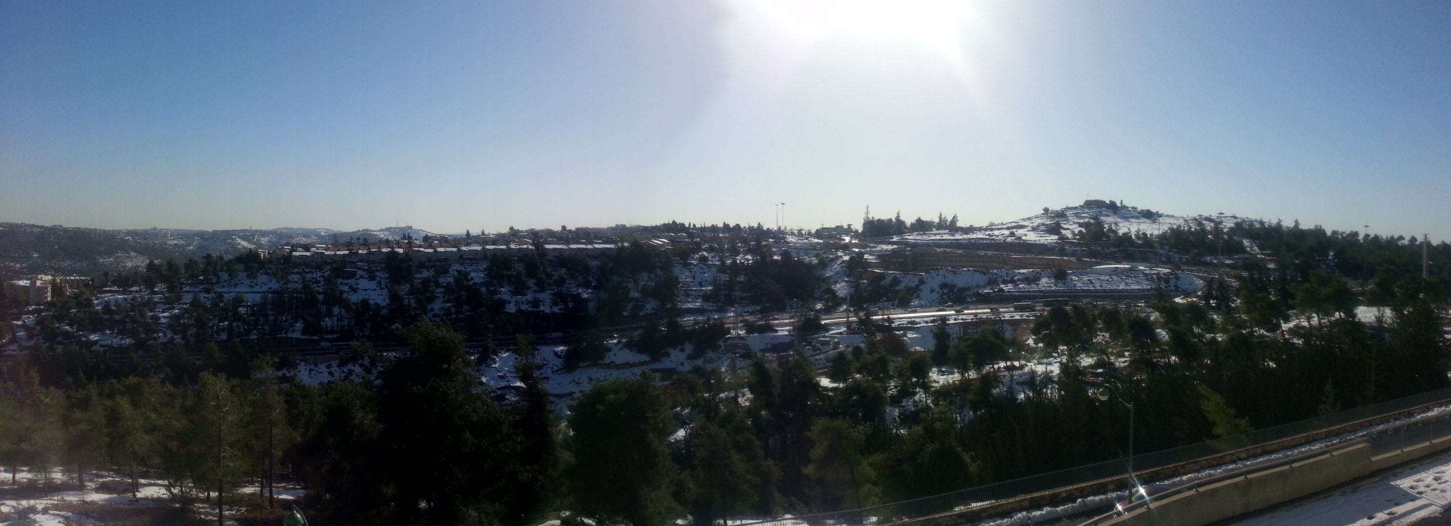
Leaving the viewpoint, we drove slightly further down route one to the Castel. This was the site of the first Arab village conquered by the Israeli forces in the war. It played an important role in the war, in terms of boosting morale, even though the site went on to exchange hands a couple of times before being finally conquered. Here the Israelis killed the commander of the local Arab forces when he was by chance shot by a sentry – another significant morale boost. At close to 800m above sea level, this was an important vantage point on the Jerusalem road.
The site was still covered in a deep blanket of snow from the previous weekend, when Israel had suffered its worst storms in over 100 years. The snow had by now hardened but this was not going to stop Israelis from enjoying its novelty – there were plenty of kids frolicking around and a fair amount of adults also!
The Kiriat Anavim cemetery
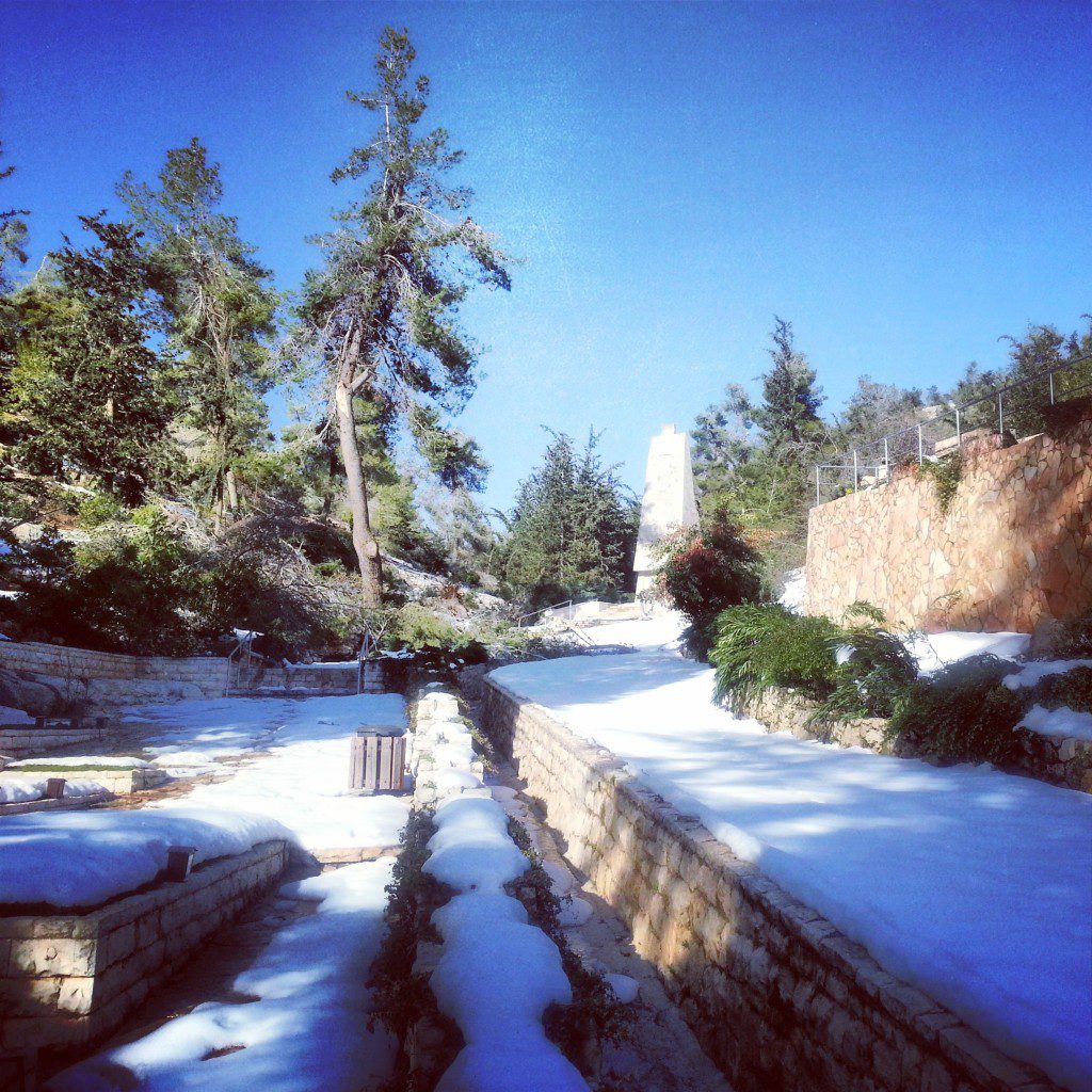
Turning back on ourselves, we made a short stop at the Kiriat Anavim cemetery. It seemed that we were the first to visit since the stop and there was still a lot of snow here also. Trees also lay all over the place, blown over by the strong winds. This is the cemetery of the Harel Brigade, part of the Palmach, who were responsible for fighting the battle to open and protect the road to Jerusalem. They suffered the heaviest losses of any part of the nascent IDF in the war; one third of the brigade was killed. We heard the stories of some of their most famous fallen, and reflected on the tragic losses of this period.
The Memorial for the Armoured Corps at Latrun
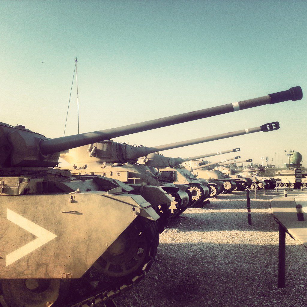
Continuing north, we stopped at the Memorial for the Armoured Corps (Yad Lashiryon) at Latrun. Now also a museum for tanks (which they claim has the biggest variety of tanks of any collection in the world), we learned about the formation of the Israeli armoured corps in order to try to take this hilltop in the 1948 war. Here was a former British fortress, and taking it was essential in order to control the road to Jerusalem. Unfortunately the Arabs had also realised this and from May 1948 the area was swarming with soldiers of the Jordanian Arab Legion, the best trained soldiers in the region. We had a quick tour of some of the tanks and visited the memorial, designed by the famous sculptor Dani Karavan.
The Burma Road and Neve Shalom viewpoint
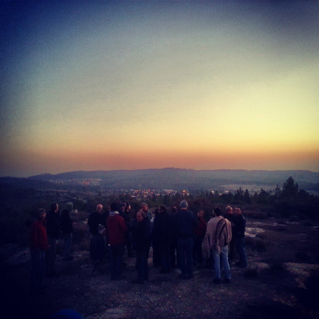
The Israelis fought five battles for Latrun, all of them tragic failures. Realising the futility of further attacks, they ingeniously built a by-pass around the area (and also that of the problematic Shaar HaGay). As they copied a technique used by the British in the East, this new route was known as the Burma Road. We relocated to a viewpoint near Neve Shalom whence we could better understand how the battles played out, and also the location of the Burma Road. With the construction of this new route, the siege of Jerusalem was broken, and later a new road was built connecting the area just west of Latrun with the area of Shoresh. With the Latrun and Shaar Hagay area remaining under Jordanian control until 1967, this became the road to Jerusalem in the interim.
The siege of Jerusalem was lifted, and now the forces could focus on the Jewish areas cut off by the Egyptians in the south. More on that to come after our next field trip…


Leave a comment